From the flight log

Articles from a better altitude.

Answers to the questions clients actually ask — drone rules, real estate photography, and what a flight over your place really involves.

01
August 9, 2026

How to Prepare Your Home for Drone Listing Photos

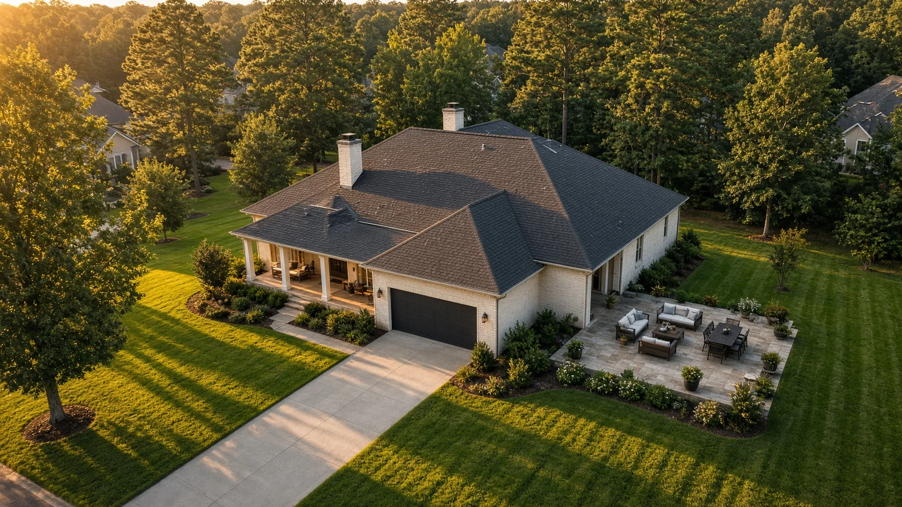
Drone photos can show buyers the whole property at once—but they also reveal clutter, patchy landscaping, parked vehicles, roof debris, and neighboring distractions that ordinary interior photos may miss. This seller-friendly checklist explains what to handle before the pilot arrives so the home looks clean, intentional, and easy to understand from the air. KEYWORDS Primary keyword: prepare home for drone listing photos Secondary keywords: drone real estate photography checklist, aerial listing photos, home selling photography, Realtor drone photos, residential property marketing, prepare yard for listing photos # How to Prepare Your Home for Drone Listing Photos A drone camera sees your property differently than a person standing at the curb. It can show the shape of the lot, the relationship between the home and driveway, the backyard layout, nearby trees, roof condition, outdoor features, and the surrounding neighborhood in a single frame. That wider view is useful for buyers, but it is not forgiving. A trash can hidden beside the garage may be obvious from above. So can garden hoses, roof debris, faded patio furniture, a half-finished landscaping project, or six vehicles crowding the driveway. The goal is not to make the property look artificial. It is to remove distractions so buyers can quickly understand the home and its setting. ## Start With the View Buyers Will See From Above Walk outside and stop thinking only about curb appeal. Look at the entire property as a collection of shapes and surfaces: - Roof - Driveway - Walkways - Front and back yards - Decks, patios, pools, sheds, and fences - Vehicles and trailers - Trees and large landscaping beds - Neighboring areas that may enter the frame A drone image often includes several of these at once. Cleaning one area while ignoring the others can make the property look unfinished. Before photo day, ask your Realtor or photographer which features matter most to the listing. A large backyard, corner lot, detached workshop, pool, lake access, acreage, or new roof may deserve specific aerial angles. That affects where the drone flies and what should receive the most attention. ## Clear the Driveway and Parking Areas Vehicles are among the largest visual distractions in aerial property photos. They can hide the driveway, block the front elevation, cast large shadows, and make the lot feel crowded. When possible: - Move personal vehicles away from the property during the shoot. - Remove trailers, utility equipment, motorcycles, and recreational vehicles unless they are relevant to the property’s use. - Ask contractors or lawn crews not to arrive during the scheduled photo window. - Avoid parking directly across the street if the vehicle will still dominate the wider neighborhood view. If a vehicle cannot be moved, tell the photographer in advance. The pilot may be able to choose an angle that reduces its impact, but that is easier to plan before the flight begins. ## Clean Up the Yard for the Aerial View Small items can become surprisingly noticeable when they create bright colors or irregular patterns against grass, concrete, or roofing. Remove or organize: - Trash and recycling bins - Garden hoses - Children’s toys - Pet bowls, leashes, and waste - Loose tools - Bags of soil or mulch - Portable basketball goals when practical - Temporary signs - Empty planters - Pool-cleaning equipment - Folded tarps and covers Mow the lawn far enough ahead that clippings are removed and the surface has time to settle. Fresh mowing lines can look good from above, but piles of clippings or a mower left near the shed will draw attention. Trim obvious overgrowth around walkways, fences, decks, and the front elevation. You do not need a complete landscaping renovation. Concentrate on clean edges, clear paths, and removing objects that make the property feel neglected. ## Pay Attention to the Roofline Aerial photos may show more of the roof than any ground-level image. Sellers often forget this because the roof is not part of their normal daily view. From the ground, check for visible distractions such as: - Branches or heavy leaf buildup - Loose holiday decorations - Temporary tarps - Unsecured objects - Clogged-looking gutters - Satellite equipment or cables hanging out of place Do not climb onto the roof simply to prepare for photography. Roof work can be dangerous and may require a qualified professional. The practical goal is to notice obvious issues early enough to address them safely, not to create a new risk the morning of the shoot. Drone listing photography is also not a substitute for a roof inspection. Marketing images may help show the home’s appearance and layout, but buyers should not treat them as a professional condition assessment. ## Stage Outdoor Living Areas A deck, patio, porch, pool, firepit, or outdoor kitchen may be one of the property’s strongest selling points. From the air, these spaces look best when their purpose is immediately clear. For a patio or deck: - Straighten chairs and tables. - Open an umbrella only if weather and wind allow. - Remove worn covers and storage containers. - Sweep visible debris. - Arrange furniture so walking space is clear. For a pool: - Remove the cleaner and loose accessories. - Straighten furniture. - Clear towels, toys, and chemical containers. - Make sure gates are closed and the area is secure. For a firepit or gathering space, create a simple, orderly layout. Too many chairs or scattered objects can make the area feel smaller from above. ## Coordinate Pets, Children, and Visitors The property should be as quiet and controlled as practical during the flight. Keep pets indoors, and make sure children and visitors know a drone will be operating outside. The Federal Aviation Administration regulates commercial small-drone work under Part 107. Rules for flying over people depend on the aircraft and operating conditions, and a responsible pilot plans the flight to avoid unnecessary exposure. Clearing the yard gives the pilot more options and reduces delays. Do not assume the photographer can simply fly anywhere over anyone. The pilot remains responsible for the operation and may change or cancel a planned angle when people, traffic, weather, airspace, or another hazard makes it unsuitable. ## Tell Nearby Neighbors When It Makes Sense A brief heads-up can prevent confusion, especially when homes are close together or the desired angle includes a shared fence line. You do not need to make the flight a neighborhood event. A simple notice that a licensed photographer will be taking exterior listing images at a certain time is usually enough. The photographer should still frame the property carefully and avoid unnecessary focus on neighboring private areas. Sellers should also review completed images with their Realtor before publication and remove any image that reveals something inappropriate or distracts from the listing. ## Choose the Right Time of Day Light changes the appearance of every outdoor surface. The best time depends on the direction the home faces, tree cover, weather, and the features being emphasized. Morning may provide cleaner light on one elevation while leaving the backyard in shadow. Late afternoon may warm the front of the house but create long tree shadows across the yard. Midday can reduce long shadows, though the light may appear harsher. Ask the photographer to choose the time based on the property rather than a generic rule. If the pool, rear deck, mountain view, lake, or front elevation is the main feature, the sun’s position around that feature matters more than a standard “golden hour” recommendation. Weather matters too. Strong wind may make a flight unsafe or produce unstable foliage and pool surfaces. Rain, low clouds, haze, or severe glare can also reduce image quality. Build enough flexibility into the listing schedule for a weather-related change. ## Ask the Pilot About Airspace Before Photo Day Some homes are close to airports or inside controlled airspace. Commercial drone pilots may need Federal Aviation Administration authorization before flying in those locations. The FAA provides LAANC and other authorization processes for eligible Part 107 operations. This is the pilot’s responsibility, but sellers and Realtors can help by providing the exact address early. Do not wait until the photographer is standing in the driveway to mention that the home is beside an airport, hospital heliport, stadium, military installation, or other sensitive location. Airspace approval does not guarantee that conditions will be safe on the scheduled day. The pilot must still assess weather, nearby aircraft, temporary restrictions, people, vehicles, obstacles, and the condition of the takeoff area. ## Prepare a Simple Shot Priority List A shot list should guide the photographer without trying to dictate every flight path. For most residential listings, useful priorities may include: 1. Front three-quarter view showing the home and driveway 2. Rear three-quarter view showing the backyard and outdoor living area 3. Straight-down or slightly angled property-layout image 4. Wider image showing the relationship to nearby amenities or landscape 5. A focused image of a pool, acreage, workshop, waterfront, new construction, or another major feature Do not request a wide neighborhood image unless it genuinely helps explain the property. More altitude and a wider frame do not automatically create a better listing photo. The best aerial image makes one useful point clearly. ## Review What Should Not Appear Before the shoot, walk the property and look for anything private, temporary, or misleading. Examples include: - Visible license plates - Personal documents or signs near windows - Security-system details - Neighboring children or gatherings - Construction materials that will be removed before showings - Seasonal decorations that date the listing - Open gates that should normally be closed - Items that suggest a feature is included when it is not Tell the Realtor and photographer about property boundaries, shared driveways, easements, neighboring structures, and features that belong to someone else. Aerial photos can make boundaries look obvious even when they are not. Captions and listing descriptions should avoid implying that adjacent land or amenities are part of the sale unless that is accurate. ## A Day-Before Checklist The day before the scheduled flight: - Confirm the appointment and weather plan. - Send the exact address and gate instructions. - Finish mowing and basic cleanup. - Remove yard clutter and pool equipment. - Arrange outdoor furniture. - Plan where vehicles will go. - Secure pets. - Identify the property’s top three aerial selling points. - Tell the photographer about nearby airports, power lines, tall trees, or other notable obstacles. - Confirm who will approve the final images before the listing goes live. Good preparation usually takes less effort than correcting a distracting photo after the fact. The property does not need to be perfect. It needs to be orderly enough that the home, land, and major features are easy to read. ## Frequently Asked Questions ### Does every home listing need drone photos? No. Aerial images are most useful when they explain something that ground photos cannot show clearly, such as a large lot, waterfront location, roofline, pool, detached building, neighborhood setting, acreage, or construction progress. ### Should cars be removed for drone listing photos? Usually, yes. Removing vehicles helps buyers see the driveway, garage, front elevation, and parking layout without visual clutter. When a vehicle cannot be moved, notify the photographer before the shoot. ### Can a drone photographer fly over neighboring homes? The pilot must comply with applicable FAA rules and make safe operating decisions. The photographer should also avoid unnecessary intrusion and frame the subject property carefully. The exact flight path depends on airspace, obstacles, people, traffic, aircraft capability, and the pilot’s risk assessment. ### What happens if the weather is bad? The pilot may postpone or adjust the flight because of wind, rain, low visibility, storms, or other unsafe conditions. Sellers should leave schedule flexibility rather than tying the entire listing launch to one narrow photo window. ### Are drone listing photos the same as a roof inspection? No. Listing photos are marketing images. They may show the general appearance of the roof, but they do not replace a qualified inspection or professional condition report. ## Source Notes Federal Aviation Administration — Certificated Remote Pilots including Commercial Operators https://www.faa.gov/uas/commercial_operators Federal Aviation Administration — Operations Over People General Overview https://www.faa.gov/uas/commercial_operators/operations_over_people Federal Aviation Administration — Part 107 Airspace Authorizations https://www.faa.gov/uas/commercial_operators/part_107_airspace_authorizations Federal Aviation Administration — Small Unmanned Aircraft Systems Regulations (Part 107), updated July 6, 2026 https://www.faa.gov/newsroom/small-unmanned-aircraft-systems-uas-regulations-part-107 ## Internal and Cross-Site Link Suggestions Internal links for SweetHomeDrone.com: - What Drone Photography Costs for Home Sellers - When Aerial Photos Add Value to a Residential Listing - Residential Construction Progress Photos: A Builder’s Guide Cross-site link decision: No cross-site link added. This article is a residential seller checklist, and forcing a link to an industry-regulatory or Alabama event article would not help the reader. ## Image Plan Featured-image concept: A clean residential home photographed from a moderate oblique aerial angle, with an empty driveway, tidy front yard, visible roofline, and clearly arranged backyard. Natural realistic daylight; no text overlay; no exaggerated luxury styling. Suggested filename: prepare-home-drone-listing-photos-hero.jpg
Read the article →
02
August 9, 2026

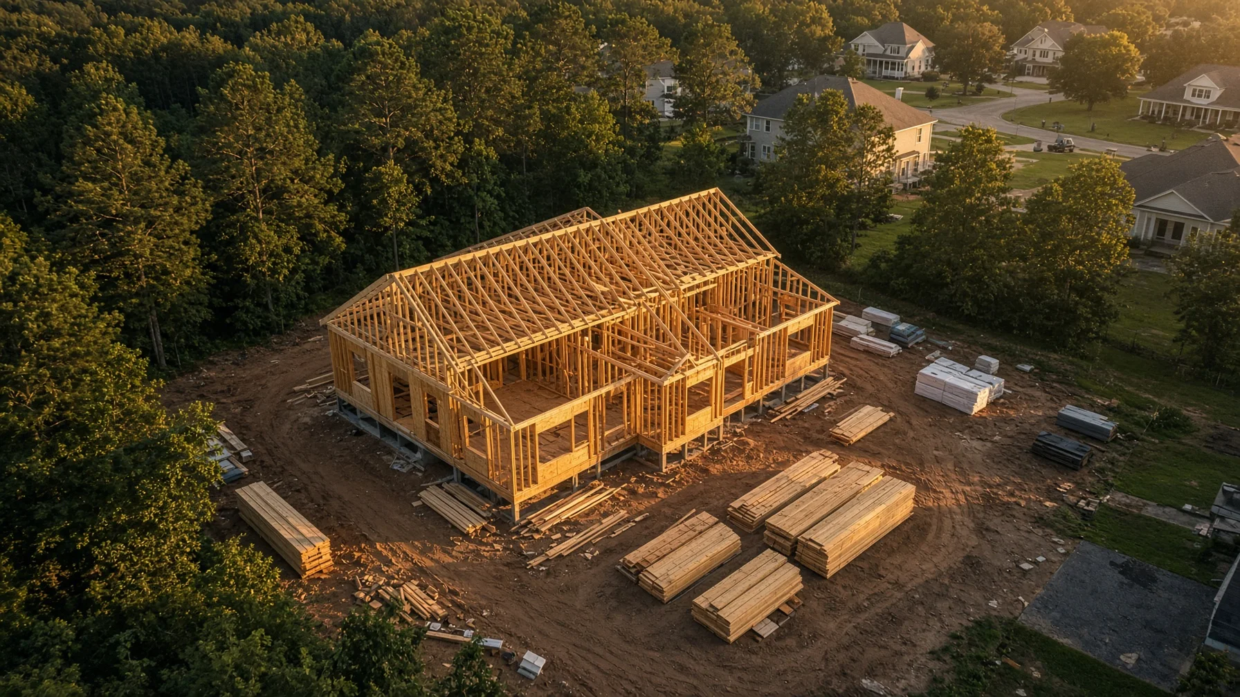
Using Drone Photos to Document Storm Damage at Your Home

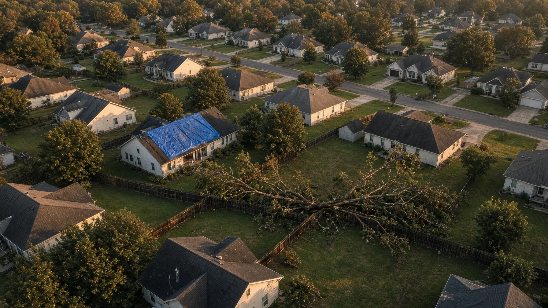
Aerial photographs can provide a clear record of roof, siding, tree, fence, drainage, and outbuilding conditions after severe weather. They are most useful when collected safely, labeled carefully, and combined with ground-level photos, repair records, and an insurer’s instructions. This guide explains when a drone can help, when it should stay grounded, and how to organize the images so they are useful rather than merely dramatic. KEYWORDS Primary keyword: drone storm damage photos Secondary keywords: drone roof damage documentation, aerial insurance claim photos, post-storm home photography, homeowner storm damage checklist, drone property damage inspection # Using Drone Photos to Document Storm Damage at Your Home After a major thunderstorm, tornado, hail event, hurricane, or straight-line windstorm, homeowners often need to answer a basic question quickly: what changed? A roof may look intact from the driveway while missing shingles on the rear slope. A fallen limb may have struck a detached garage that cannot be seen from the street. Water may be pooling behind the house because a downspout, fence panel, or drainage path shifted. Drone photographs can help create a broad visual record of those conditions without placing someone on a wet ladder or unstable roof. That does not make a drone a substitute for an adjuster, roofer, structural engineer, electrician, arborist, or emergency responder. An aerial image can show visible conditions. It usually cannot determine the cause of hidden moisture, confirm structural integrity, identify every hail strike, or decide whether a loss is covered by insurance. The best use of a drone is documentation: showing the location, extent, and visible pattern of damage so the homeowner, insurer, and qualified repair professionals can understand what needs a closer look. ## Safety comes before photography Do not enter a damaged property simply to collect better pictures. Stay away from downed power lines, unstable trees, damaged utility equipment, standing water near electrical systems, gas odors, leaning walls, and structures that may collapse. A drone should also stay grounded when emergency aircraft or first responders are working nearby. The FAA warns drone pilots not to fly in or around disaster-response efforts because helicopters and other aircraft may be operating low, sometimes in reduced visibility. Temporary Flight Restrictions, or TFRs, may be established after hurricanes, wildfires, hazardous incidents, or other emergencies. The FAA requires pilots to check current NOTAMs and TFRs before flight. Even when no TFR appears on a map, an operation must not interfere with emergency activity. A homeowner who hires a drone operator should expect that operator to postpone the job if fire, police, utility, rescue, or aviation crews are still actively working in the area. In practical terms, documentation begins after the immediate danger has passed—not while the emergency is unfolding. ## Contact the insurer before assuming what it needs The Consumer Financial Protection Bureau advises property owners to contact the appropriate insurance company after a disaster and to take pictures or videos of damage when possible, including before and after repairs they perform themselves. The National Association of Insurance Commissioners similarly recommends listing damaged property and taking photographs and video when filing a homeowners claim. Those recommendations support careful documentation, but every policy and claim process is different. Before ordering a specialized drone survey, ask the insurer or agent: - Has a claim number been assigned? - Does the insurer want photographs uploaded through a particular portal or app? - Should visible damage be left undisturbed until an adjuster arrives? - What temporary repairs are expected to prevent additional damage? - Does the insurer need estimates, receipts, serial numbers, or contractor reports in addition to photographs? - Are there any restrictions on entering or photographing the property? Drone images may supplement the claim file. They do not guarantee coverage, prove the value of a loss by themselves, or replace the insurer’s inspection. ## What aerial photographs can document well A well-planned flight can show relationships that are difficult to capture from the ground. ### Roof surfaces and roof components Useful views may show: - Missing, lifted, or displaced shingles - Exposed underlayment or roof decking - Damaged ridge caps - Debris resting on the roof - Bent or detached gutters - Displaced flashing that is visible from the air - Damage around vents, skylights, chimneys, and roof-mounted equipment - Different conditions on front, rear, and side slopes A drone camera may reveal a pattern that deserves closer inspection. It cannot reliably confirm that every dark spot is hail damage, measure moisture below the surface, or certify that a roof is watertight. ### Trees, limbs, and impact paths Overhead and angled images can show where a tree fell, what it contacted, and how debris is distributed. That record can be useful before removal crews cut and move branches. Photographs should not delay removal when a tree threatens people, utilities, roads, or an occupied structure. Emergency stabilization takes priority. ### Siding, trim, windows, and exterior walls Oblique views can show damaged siding, loose fascia, broken windows, missing shutters, displaced trim, and areas where wind-driven debris struck the building. A complete set should include every side of the home rather than only the most dramatic damage. ### Detached structures and property features Aerial coverage can document garages, sheds, barns, docks, fences, gates, pools, solar arrays, retaining walls, driveways, and other exterior features included in the assignment. Coverage under a policy is a separate question. ### Drainage, standing water, and debris patterns Wide views may help show blocked drainage paths, ponding water, washouts, displaced landscape materials, and the direction debris traveled. These images can help a contractor understand site access and conditions, but they should not be presented as an engineering drainage study unless a qualified professional performs that work. ## Build a photo set that someone else can understand A useful storm-damage record should be organized like evidence, not like a highlight reel. Begin with wide establishing images. Show the full property and surrounding context from several directions. Then capture each side of the home and each major roof slope. Follow with closer views of visible damage, while preserving enough background detail to show where that damage is located. For each image group, record: - Property address - Date and approximate time - Name of the photographer or drone operator - General direction of view - Building or feature shown - Short description of the visible condition - Whether the image was taken before or after a temporary repair Keep original files. Avoid editing that removes context, changes the apparent condition, or overwrites capture information. Basic copies for annotation are useful, but the unaltered originals should remain available. A simple folder structure works well: 1. Property overview 2. Roof — front slope 3. Roof — rear slope 4. Roof — left and right slopes 5. Exterior walls and windows 6. Trees and debris 7. Detached structures 8. Drainage and standing water 9. Temporary repairs 10. Follow-up or completed repairs Use filenames that identify the sequence and subject, such as `2026-07-30_014_rear-roof-missing-shingles.jpg`. Consistent naming matters when dozens or hundreds of photographs are involved. ## Photograph undamaged areas too People naturally focus on the worst damage, but a complete record should also show nearby areas that appear unaffected. FEMA training materials for damage documentation emphasize the value of both pre-disaster and post-disaster images, and flood-adjustment guidance notes that undamaged and pre-existing conditions are also important to photograph. For a homeowner, that means capturing the full roof rather than only one torn section, every exterior elevation rather than one wall, and adjacent structures that help establish scale and context. When safe and practical, older listing photographs, home portraits, construction-progress photos, inspection reports, or routine property images may provide useful pre-storm context. They should be dated and identified accurately. Do not claim that an old image proves a condition it does not clearly show. ## Drone photos should be combined with ground-level records Aerial coverage is strongest when paired with close ground photographs, written notes, and documents. The claim file may also include: - Interior water damage photographs - Photographs from windows, porches, or ground level - A written timeline of when the storm and damage were noticed - Receipts for temporary repairs and emergency services - Contractor estimates - Adjuster communications - Roof, HVAC, solar, or structural reports - Prior inspection and maintenance records - A home inventory for damaged personal property The NAIC recommends maintaining a home inventory and preserving receipts and other proof related to repairs and belongings. Drone images usually document the building exterior and site; they do not replace a room-by-room contents inventory. ## Know the limits of visual interpretation A common mistake is labeling every visible irregularity as storm damage. Roofs may have prior repairs, staining, age-related wear, manufacturing variation, algae, foot traffic, or old impact marks. Trees may have decay or earlier breakage. Fences and outbuildings may already have been leaning. A responsible drone report uses neutral wording: - “Three shingles appear displaced on the rear slope.” - “A large limb is resting on the detached garage roof.” - “Standing water is visible along the east fence line.” - “The gutter is separated from the fascia near the northwest corner.” It avoids unsupported conclusions such as: - “The storm totaled the roof.” - “This is definitely hail damage.” - “The house is structurally unsafe.” - “The insurer must cover this.” Those decisions require the appropriate professional, policy review, or claim investigation. ## Before-and-after flights can be more useful than one flight A single post-storm flight documents the visible condition at one point in time. A second carefully matched flight can show temporary stabilization or completed repairs. For comparison, the operator should try to repeat: - Camera direction - Approximate altitude and distance - Roof-slope coverage - Image sequence - Lighting conditions when practical - Filename structure The CFPB advises taking pictures before and after repairs performed by the homeowner. A matched aerial series can extend that idea to the roof and exterior, provided the flight is legal and safe. ## Questions to ask a drone photographer Before hiring someone, ask: - Will the flight be conducted under the correct FAA rules for paid work? - Will the operator check controlled airspace, NOTAMs, and TFRs? - What happens if emergency activity, weather, or site hazards make the flight unsafe? - Will I receive the original full-resolution files? - Will the images be labeled by side, slope, or feature? - Can the operator capture both broad context and close visible details? - Does the service include interpretation, or only photographic documentation? - How will private images of my home be stored, delivered, and deleted? - Can a follow-up flight repeat the same views after repairs? The answers should be specific. “We will get some roof shots” is not a complete scope. ## A practical homeowner checklist Before the flight: - Confirm the property is safe to enter - Contact the insurer and start the claim when appropriate - Identify emergency operations or local restrictions - Give the operator the exact address and requested areas - Share known hazards, including wires, unstable trees, animals, and damaged structures - Explain any privacy or access limits During documentation: - Capture the entire property before close details - Photograph all roof slopes and exterior sides - Include undamaged context - Record the date, view direction, and subject - Avoid disturbing damage solely for a better picture Afterward: - Preserve original files - Make a backup outside the damaged property - Upload only the images requested by the insurer - Keep repair receipts and written communications - Document temporary and completed repairs - Ask qualified professionals to evaluate conditions that photographs cannot resolve ## Frequently Asked Questions ### Can drone photos prove that a storm caused roof damage? They can document visible roof conditions after the event and may help show location and extent. They usually cannot prove causation by themselves, particularly when prior roof condition is unknown. Insurers and qualified inspectors consider additional evidence. ### Should I fly my own drone immediately after a tornado or hurricane? Not when emergency response aircraft or crews are operating nearby. Check current FAA restrictions and local conditions. The FAA specifically warns drone pilots not to interfere with disaster-response activity. ### Are drone photos accepted by homeowners insurance companies? Many insurers accept digital photographs as part of a claim file, but requirements vary. Ask the insurer how images should be submitted and whether an adjuster or contractor inspection is also required. ### Can a drone replace a roof inspection? No. It can capture visible exterior conditions and reduce the need for preliminary ladder access. A qualified roofer, adjuster, engineer, or other professional may still need to inspect the roof or building directly. ### Is it useful to photograph the home before storm season? Yes. Current exterior photographs can help establish pre-storm condition and make later comparisons easier. They should be dated, stored securely, and supplemented with maintenance records and a home inventory. ## Source Notes Federal Aviation Administration — Severe Weather and Natural Disaster Preparedness https://www.faa.gov/air_traffic/flight_info/hurricane_season Federal Aviation Administration — Temporary Flight Restrictions https://www.faa.gov/uas/getting_started/temporary_flight_restrictions Federal Aviation Administration — Operating Near Hurricane Recovery Efforts https://www.faa.gov/air_traffic/flight_info/hurricane_season/operating-near-hurricane-recovery-efforts Consumer Financial Protection Bureau — What should I do after a disaster to protect my finances and property? https://www.consumerfinance.gov/ask-cfpb/what-should-i-do-after-a-disaster-to-protect-my-finances-and-property-en-1513/ Consumer Financial Protection Bureau — Get prepared before a disaster or emergency strikes https://www.consumerfinance.gov/consumer-tools/disasters-and-emergencies/get-prepared-before-disaster-emergency-strikes/ National Association of Insurance Commissioners — What You Need to Know When Filing a Homeowners Claim https://content.naic.org/article/what-you-need-know-when-filing-homeowners-claim National Association of Insurance Commissioners — Home Inventory https://content.naic.org/consumer/home-inventory Ready.gov — Document and Insure Your Property https://www.ready.gov/collection/document-insure-property
Read the article →
03
August 9, 2026

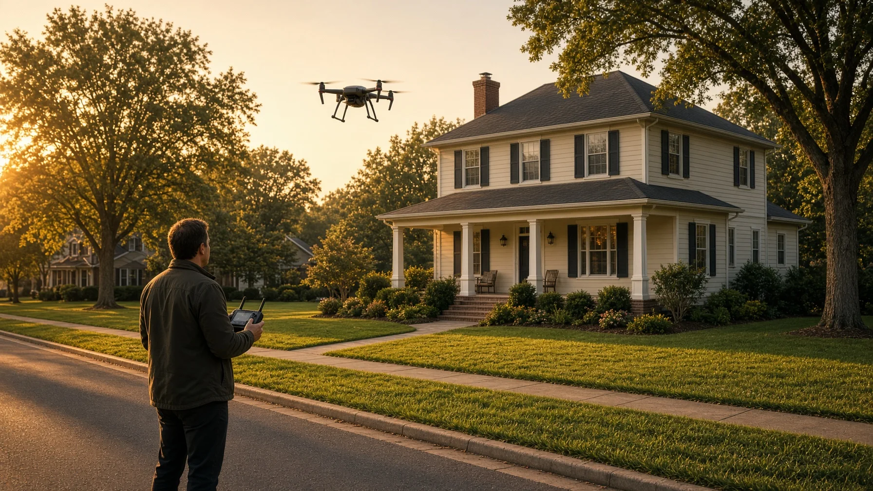
Drone Construction Progress Photos: A Practical Guide for Homeowners and Builders

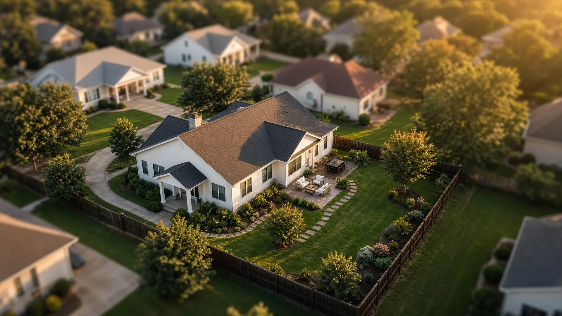
A repeatable drone-photo plan can turn a pile of random construction pictures into a clear visual record of how a home took shape. This guide explains what to capture, when to schedule flights, and how homeowners and residential builders can keep the results useful. PRIMARY KEYWORD drone construction progress photos SECONDARY KEYWORDS residential construction drone photography; home building progress photos; aerial construction documentation; new home drone photos; builder progress photography # Drone Construction Progress Photos: A Practical Guide for Homeowners and Builders Watching a home rise from a cleared lot is exciting, but construction moves faster than most people realize. Trenches disappear under concrete. Framing is covered by sheathing and finishes. Drainage work, roof details, site grading, and utility routes can become difficult to see once the next phase begins. That is why construction progress photography is most useful when it follows a plan. A drone can provide a consistent view of the entire property, but the value does not come from simply flying over the site whenever someone remembers. The value comes from capturing the right angles at the right milestones and organizing the files so they remain useful months or years later. This guide is for residential homeowners, builders, remodelers, and project managers who want a practical aerial record of a house under construction. It is not a substitute for inspections, surveys, engineering reports, or code documentation. It is a visual communication and recordkeeping tool. ## What Drone Progress Photos Can Actually Do Aerial images are especially good at showing relationships that are hard to understand from the ground. A wide overhead image can show the home’s position on the lot, driveway alignment, drainage paths, material staging, access routes, and the surrounding property in one frame. A repeated oblique image from the same corner can show changes in roof framing, exterior walls, porches, decks, landscaping, and grading. When those images are captured from similar positions over time, they become much more useful than a collection of unrelated snapshots. For homeowners, the images can make remote updates easier to understand. For builders, they can support owner communication, internal progress meetings, subcontractor coordination, and a final project story. They can also help preserve a visual reference of work that later becomes concealed. However, a drone photo is not proof that work meets code, dimensions are correct, boundaries are accurate, or hidden systems were installed properly. Aerial photography should support—not replace—the professionals responsible for those determinations. ## The Best Time to Start Is Before the First Flight Before hiring a pilot or launching a company drone, decide what the photo record needs to accomplish. A homeowner mainly interested in a keepsake may need fewer flights and more visually polished images. A builder using the photos for recurring client updates may need standardized framing and quick delivery. A project manager comparing site changes may care more about consistency than dramatic composition. Write down the purpose in one sentence. For example: “Create a clear monthly record of exterior construction and site conditions for the homeowner.” Or: “Document major residential construction milestones from repeatable aerial viewpoints for progress meetings and final marketing.” That sentence will guide the schedule, shot list, delivery format, and budget. ## A Practical Residential Construction Flight Schedule Not every project needs weekly drone coverage. For many single-family homes, milestone-based flights provide a better balance of usefulness and cost. ### 1. Existing Site or Pre-Construction Capture the lot before clearing or major disturbance. Useful views include the full parcel area visible from the air, road access, neighboring context, existing trees, visible drainage features, and the planned building area. This creates a baseline. It can be especially helpful when the site changes significantly during clearing and grading. ### 2. Clearing, Grading, and Foundation Preparation Photograph the site after major clearing and during early earthwork. Capture access paths, excavation, visible drainage work, foundation layout, and the relationship between the house location and surrounding grade. Avoid describing these images as a boundary survey. Property lines shown on consumer mapping tools may be approximate, and a drone image does not establish a legal boundary. ### 3. Foundation or Slab Milestone A flight near the foundation stage can show the building footprint, driveway approach, porches, visible utility trenches, and overall placement before framing changes the view. Ground-level photographs are still essential for details that cannot be seen clearly from above. The aerial set should complement the builder’s normal documentation. ### 4. Framing and Roof Structure This is often one of the most visually informative stages. Oblique views can show the shape of the home, rooflines, dormers, decks, attached garages, and exterior openings before finishes are installed. The pilot should avoid flying through or too close to unfinished framing. Construction sites can contain cranes, temporary power lines, loose materials, workers, and changing hazards. ### 5. Dry-In and Exterior Installation Once roofing, windows, doors, and exterior materials are being installed, repeat the standard angles. This stage is useful for showing roof coverage, exterior progress, porch details, siding or masonry work, and remaining site activity. A drone image may reveal a visible issue worth a closer look, but it should not be presented as a roof inspection unless the service and operator are qualified and contracted for that purpose. ### 6. Final Grading, Landscaping, and Completion The final construction set should mirror the early viewpoints whenever possible. Capture the completed roof, exterior elevations, driveway, walkways, landscaping, drainage features visible from the air, and the relationship between the finished home and the lot. A separate polished “home portrait” session may be appropriate after equipment, dumpsters, temporary fencing, and leftover materials are removed. ## Build a Repeatable Shot List Consistency is what turns progress photos into a sequence. A useful basic shot list might include: - One near-vertical overhead view centered on the home site - Four oblique views from the front-left, front-right, rear-left, and rear-right - One street-approach view showing the home from the primary access direction - One wider context view showing the lot and nearby surroundings - One focused view of a changing feature, such as a pool, detached garage, major retaining wall, or long driveway The exact aircraft position will vary with airspace, obstacles, sun angle, wind, neighboring properties, and construction activity. The goal is not perfect mathematical duplication. The goal is recognizable, repeatable composition. Ask the pilot to save a simple reference sheet showing the preferred viewpoints. On future visits, the pilot can use the prior set as a visual guide. ## Keep the Images Useful, Not Just Attractive Construction progress photography serves a different purpose from finished real estate marketing. For progress sets, clarity matters more than dramatic editing. The images should have natural color, readable detail, and enough context to understand what changed. Heavy filters, aggressive sky replacement, or distracting effects can make comparisons harder. Request both a curated set and, when appropriate, a consistent naming structure. A practical filename might look like: 2026-07-31_front-left_fr​​aming.jpg Or: Lot-12_2026-07-31_overhead.jpg Store each flight in a dated folder. Keep a simple index that lists the construction stage, date, and any unusual conditions such as rain, standing water, temporary access limitations, or incomplete exterior work. For a long project, a contact sheet or side-by-side comparison can be more useful than sending dozens of individual files. ## Questions to Ask Before Hiring a Drone Pilot Residential construction photography is usually a business use, so the operator should be able to explain how the flight will comply with applicable FAA requirements. Ask: 1. Will the flight be conducted under Part 107 by a certificated remote pilot? 2. Is the aircraft properly registered and compliant with Remote ID when required? 3. Have you checked the airspace and any temporary restrictions for the scheduled date? 4. Will controlled-airspace authorization be obtained through LAANC or another FAA process when necessary? 5. How will you avoid workers, vehicles, cranes, power lines, neighboring homes, and other site hazards? 6. Can you repeat the same core viewpoints on future visits? 7. What files, resolution, usage rights, and delivery timeline are included? 8. What happens if weather, airspace restrictions, or active construction make the flight unsafe? The FAA states that drones used under Part 107 must be registered, and drones that are required to be registered generally must comply with Remote ID. Flights in controlled airspace require authorization. LAANC can provide near-real-time authorization in eligible areas, but pilots must still check other restrictions, notices, and conditions. A professional answer should be clear and specific. “We have flown there before” is not a substitute for checking the conditions for the actual flight. ## Coordinate With the Builder Before Arrival The pilot should not arrive at an active construction site without coordination. Choose a site contact who can confirm access, active equipment, crane operations, concrete deliveries, roofing crews, temporary power lines, and any areas that should not be entered. The pilot needs a safe takeoff and landing area away from workers, dust, loose debris, and vehicle traffic. The best flight time may not be the prettiest time of day. A quiet morning before deliveries begin may be safer than golden hour during heavy site activity. Wind, glare, shadows, and the direction of the home’s main elevation also affect image quality. When workers are present, the pilot must plan around them rather than treating them as background scenery. FAA rules concerning operations over people and moving vehicles can affect how and where a flight is conducted. ## Privacy and Neighboring Property Aerial construction photos will often include neighboring homes or yards in the wider background. Keep the framing focused on the project property and avoid unnecessary close views into adjacent private areas. Homeowners and builders should also decide who receives the images and whether any set will be posted publicly. Progress photos may reveal building materials, site access, equipment, or times when the property is unoccupied. A practical approach is to separate internal progress documentation from public marketing images. The internal set can be comprehensive; the public set can be selected more carefully. ## What Drone Progress Photos Should Not Be Used to Claim To keep the record honest, do not describe ordinary aerial images as: - A legal property survey - A code inspection - An engineering evaluation - Proof that hidden work was completed correctly - A certified roof inspection - A guarantee against defects - Precise measurement data unless the service was specifically designed, controlled, and delivered for that purpose A well-organized photo record is valuable because it shows visible conditions at a moment in time. Its usefulness depends on accurate labeling and reasonable expectations. ## A Simple Deliverable Package For a typical residential construction milestone, a useful delivery might include: - 8 to 15 edited high-resolution images - A smaller web-ready copy of each image - A dated folder with consistent filenames - A one-page contact sheet - A short note identifying the milestone and flight date - Optional before-and-after comparison images at later stages Video can be useful for major milestones, but it is not always necessary. A consistent still-photo sequence is usually easier to compare, archive, email, and reference during a meeting. ## The Bottom Line Drone construction progress photos work best when they are planned as a record, not collected as occasional decoration. Start with a clear purpose. Choose the milestones that matter. Use a repeatable shot list. Coordinate with the active jobsite. Keep files organized and label their limits honestly. When those pieces are in place, aerial photography can help homeowners and builders understand the project, communicate more clearly, and preserve the story of how the home was built. ## Frequently Asked Questions ### How often should a new home be photographed by drone? For many single-family projects, milestone flights are more useful than an arbitrary weekly schedule. Common points include pre-construction, grading, foundation, framing, dry-in, exterior completion, and final landscaping. More frequent coverage may make sense for remote owners or complex projects. ### Can drone photos replace a home inspection or building inspection? No. Ordinary drone progress photos are visual documentation. They do not replace code inspections, surveys, engineering evaluations, or a qualified home inspection. ### Can a builder fly a drone over its own project without a Part 107 certificate? When a drone is used for a business purpose, the operation generally falls under Part 107 rather than the recreational exception. The remote pilot conducting the operation should meet the applicable FAA requirements. ### Can drone photos show exact property lines? A standard aerial photo does not establish legal property boundaries. Any overlaid line should be clearly described as approximate unless it comes from appropriate surveying work and is used within that professional context. ### What should be included in a construction progress photo package? A practical package usually includes repeatable overhead and oblique views, high-resolution files, web-ready copies, dated filenames, and a contact sheet or comparison page. ##
Read the article →
04
August 9, 2026

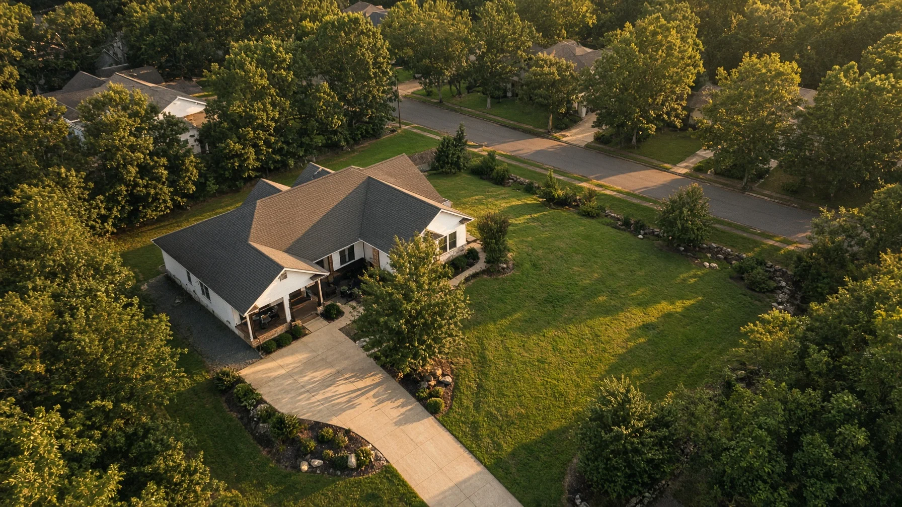
How to Hire a Drone Photographer for a Home Listing

A good drone shoot should do more than create a dramatic overhead image. It should show the property clearly, follow FAA rules, protect the seller and agent, and deliver files that are actually useful in a listing. Here is what to ask before hiring. PRIMARY KEYWORD hire a drone photographer for real estate SECONDARY KEYWORDS real estate drone photographer; home listing drone photos; Part 107 real estate photography; aerial listing photography; residential drone photography checklist # How to Hire a Drone Photographer for a Home Listing Drone photography can make a home easier to understand before a buyer ever schedules a showing. Aerial images can reveal the relationship between the house, yard, driveway, detached buildings, water, trees, neighboring homes, and nearby amenities in a way ground-level photos cannot. That does not mean every drone photographer is the same, or that every property needs the same kind of shoot. The best result comes from hiring someone who understands both legal drone operations and residential real-estate marketing. This checklist helps homeowners, sellers, Realtors, and builders choose a provider without getting buried in technical jargon. ## Start With the Purpose of the Shoot Before comparing photographers, decide what the images need to accomplish. A typical residential listing may need: - One strong elevated front view - A rear view showing the yard, deck, pool, or patio - A top-down image that explains the lot layout - Wider views showing acreage, water access, nearby open space, or neighborhood context - A short video clip for social media or the listing page A rural property may need boundary context, access roads, barns, fencing, or surrounding land. A new home may benefit from construction-progress images. A lake home may need shoreline, dock, and water-orientation views. A clear shot list keeps the photographer focused and makes quotes easier to compare. ## Ask Whether the Pilot Holds a Current FAA Remote Pilot Certificate Photos taken to help sell a property are not recreational drone flights. The FAA specifically lists taking photos to help sell a property or service as a nonrecreational operation, which generally falls under Part 107. That means the person operating the drone should be an FAA-certificated remote pilot or be directly supervised according to FAA rules. Ask a simple question: “Will the person flying the drone be operating under Part 107?” A professional should answer directly and should not treat the certificate as an unnecessary technicality. The certificate does not guarantee great photography, but it confirms the operator has completed the FAA’s required knowledge process for nonrecreational small-drone work. ## Confirm the Drone Is Registered and Remote ID Compliant The FAA requires drones used under Part 107 to be registered. Drones that require registration must also comply with Remote ID unless they are being operated under a permitted exception, such as within an FAA-recognized identification area. You do not need to become the compliance manager for the shoot. Still, it is reasonable to ask whether the aircraft is registered and Remote ID compliant. A legitimate operator should already know the answer. ## Ask About Airspace Before Scheduling A beautiful property can still sit inside controlled airspace or near a location with temporary restrictions. The pilot should check the address before promising a flight. Some controlled-airspace jobs can be approved quickly through the FAA’s Low Altitude Authorization and Notification Capability, commonly called LAANC. Other locations or requested altitudes may require additional coordination. The important point for a seller is timing. Do not wait until the morning of the listing launch to discover that the location requires authorization. Ask: - Have you checked the address and airspace? - Is authorization needed? - Could weather or a temporary restriction delay the shoot? - What is the backup plan if the flight cannot legally happen that day? A careful answer is better than an instant guarantee. ## Verify Insurance Coverage The FAA does not make a photographer’s business insurance decision for you. The National Association of REALTORS advises real-estate professionals to check a drone company’s insurance coverage because accidents and liability issues can arise during an operation. Ask whether the provider carries aviation or drone liability coverage and whether proof is available. Insurance matters because a drone shoot takes place around a home, vehicles, landscaping, people, neighboring property, and sometimes rooflines or trees. Even a well-planned flight carries some risk. For a straightforward residential shoot, you usually do not need a complicated legal review. You do need to know that the business has considered liability and can document its coverage. ## Clarify Who Owns the Photos and Video Paying for photography does not automatically answer every question about copyright or future use. Before the shoot, confirm: - Who owns the final images? - Does the seller receive a usage license or full ownership? - Can the Realtor use the files on the MLS, brokerage website, social media, print materials, and future marketing? - Can a builder reuse the images in a portfolio? - May the photographer use the work in their own portfolio? - Are raw files included, or only edited files? NAR specifically recommends addressing copyright ownership in the contract. A short written agreement can prevent confusion later. ## Review the Photographer’s Residential Portfolio A drone operator may be technically skilled but still lack the eye needed for residential marketing. Look for a portfolio that shows: - Straight horizons - Natural color and exposure - Useful property context rather than excessive empty sky - Clean framing around roofs and lot lines - Images that support the listing instead of making the home look distant - Consistent quality across multiple properties Be cautious if every portfolio image is a dramatic sunset, a downtown skyline, or a wide shot taken far from the subject. Those images may be attractive, but they do not prove the photographer can present a normal home clearly. ## Ask What Is Included in the Deliverables Two quotes can look similar while including very different work. Ask for specifics: - Number of edited aerial photos - Whether ground photos are included - Video length and format - Vertical social-media clips - Turnaround time - MLS-ready file sizes - High-resolution copies - Revision policy - Travel charges - Rescheduling policy for wind, rain, or restricted airspace Also ask whether the quote includes basic editing. Residential aerial images often need careful exposure, color correction, horizon adjustment, and cropping. Heavy digital alteration should be discussed separately, especially when an edit could misrepresent the property. ## Discuss Privacy and Neighboring Property The FAA regulates aviation safety, not every privacy issue. State and local privacy laws may still apply, and a thoughtful photographer should avoid unnecessary close views into neighboring yards, windows, or private spaces. A residential shoot should stay focused on the subject property and the context a buyer reasonably needs. Tell the photographer about: - Close neighboring homes - Shared driveways - Occupied pools or patios - Children or pets that may be outside - Sensitive areas the seller does not want emphasized The pilot should also keep people and moving vehicles in mind. Part 107 includes specific requirements for operations over people and moving vehicles, so the photographer may need to adjust the flight path or wait for an area to clear. ## Prepare the Property Before the Drone Arrives Aerial photography sees clutter that is easy to miss from the ground. Before the appointment: - Move vehicles away from the main exterior views - Put away trash cans, hoses, toys, ladders, and tools - Close garage doors - Clean the pool and arrange outdoor furniture - Remove temporary signs unless they belong in the listing - Mow or tidy visible lawn areas when practical - Secure pets indoors - Tell occupants when the flight is scheduled The photographer can choose angles, but the property still has to be ready. ## Do Not Choose on Price Alone The cheapest quote may exclude editing, insurance, authorization planning, or commercial usage rights. The most expensive quote may include services the property does not need. Compare providers based on the complete package: - Legal operation - Safety planning - Residential portfolio quality - Insurance - Deliverables - Turnaround - Usage rights - Communication The right photographer should make the process feel organized before the drone ever leaves the ground. ## A Simple Hiring Checklist Before booking, confirm all of the following: - The operator will fly under Part 107 - The aircraft is properly registered and compliant with applicable Remote ID requirements - The property address has been checked for airspace issues - The provider carries appropriate insurance - The contract explains usage rights and copyright - Deliverables, editing, turnaround, and pricing are written down - The portfolio shows residential work, not just dramatic aerial scenes - Weather and authorization delays have a clear rescheduling policy - Privacy and neighboring-property concerns have been discussed When those points are handled, the creative part becomes much easier. The photographer can focus on showing the home in a way that helps buyers understand the property instead of simply producing an impressive-looking overhead shot. ## FAQs ### Does a drone photographer need a Part 107 certificate for a real-estate listing? Generally, yes. The FAA identifies taking photos to help sell a property or service as a nonrecreational operation, and most nonrecreational small-drone work is conducted under Part 107. ### Can a Realtor fly a personal drone for listing photos? A Realtor may do so only under the rules that apply to the operation. Because the purpose is helping market a property, the flight is not treated as purely recreational. The operator should satisfy Part 107 requirements and all applicable registration, airspace, and operating rules. ### How far in advance should a drone shoot be scheduled? Allow enough time for weather, property preparation, editing, and any required airspace authorization. A simple property in unrestricted airspace may be easy to schedule, but no provider should promise that every address can be flown immediately. ### Should the seller or Realtor own the drone photos? Ownership and usage rights should be stated in writing. The agreement should explain where the seller, agent, brokerage, or builder may use the files and whether the photographer retains copyright. ### Are drone photos useful for every home? No. They are most useful when the aerial view explains something important, such as lot layout, acreage, water access, outdoor features, a detached structure, construction progress, or neighborhood context. ##
Read the article →
05
August 9, 2026

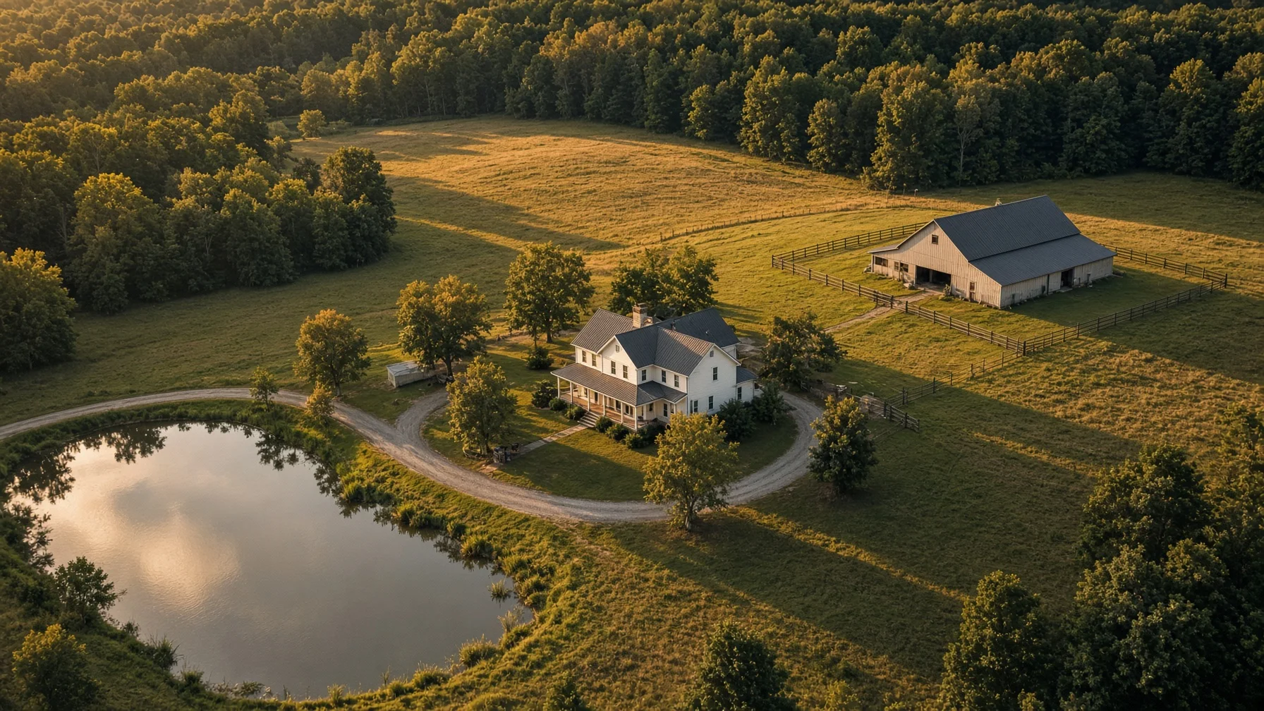
Do You Need Drone Photos for Every Home Listing? A Practical Seller’s Guide

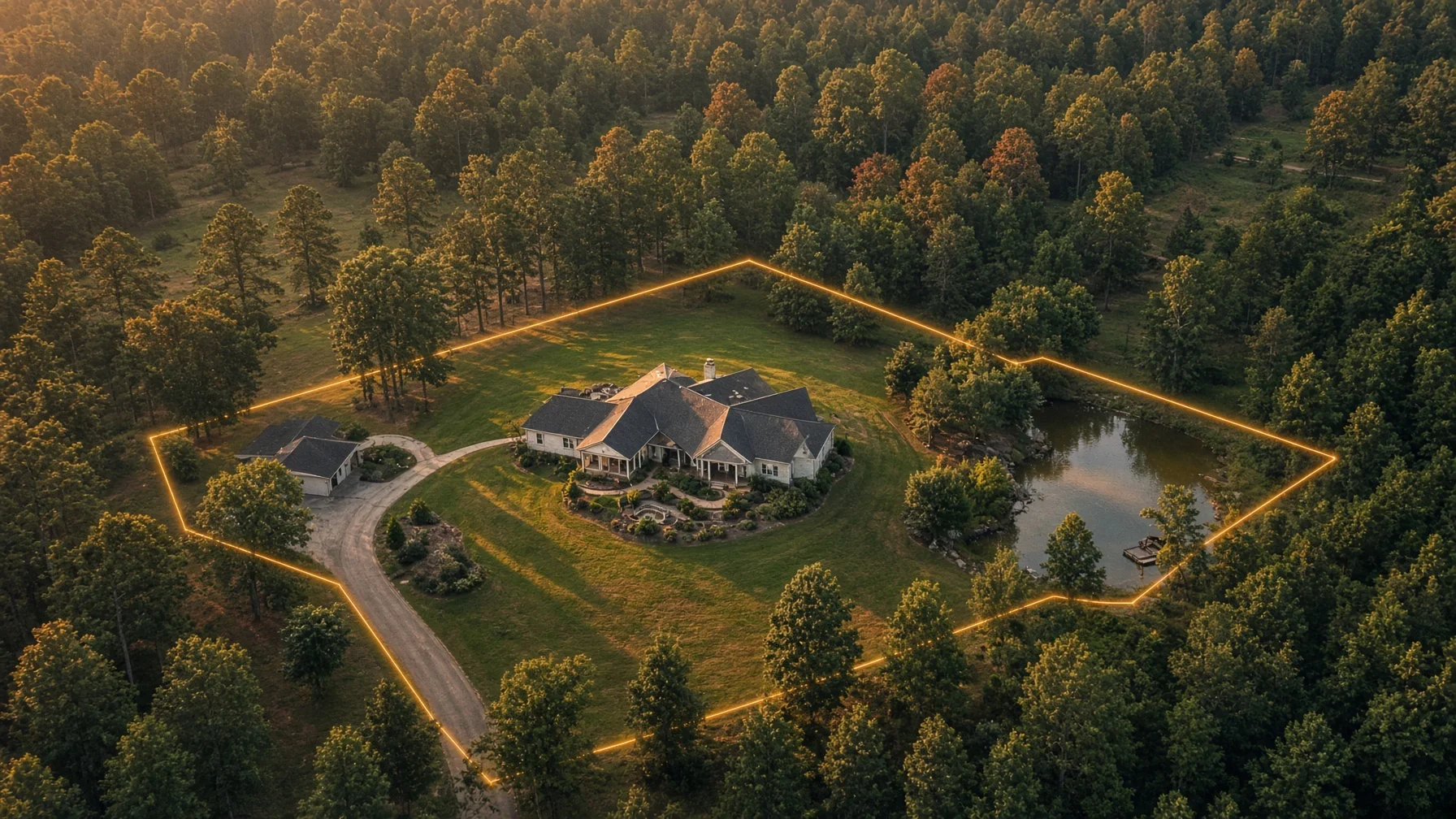
Drone photos can make the right property easier to understand, but they are not automatically useful for every listing. This guide explains which homes benefit most, when ground-level photography may be enough, and what sellers should ask before booking an aerial shoot. PRIMARY KEYWORD do you need drone photos for a home listing SECONDARY KEYWORDS real estate drone photography, aerial photos for home listings, drone photos for sellers, residential listing photography, when to use drone photography Do You Need Drone Photos for Every Home Listing? A Practical Seller’s Guide Drone photography has become common in real estate marketing, but common does not mean necessary for every property. Aerial images are most useful when they reveal something buyers cannot understand from the driveway, the front porch, or a standard interior photo set. For some homes, a drone image immediately explains the property. It can show acreage, a waterfront position, a long private drive, a detached workshop, a new subdivision, or the relationship between the house and nearby amenities. For other homes, aerial photos may add little beyond a wider view of the roof and surrounding rooftops. The right question is not, “Are drone photos impressive?” They often are. The better question is, “Will aerial images help a buyer understand this specific property faster and more accurately?” When drone photography usually adds value Large lots and acreage A standard exterior photo can show the house, but it may not explain the land. Drone images can help buyers see the size and general shape of a large lot, the position of outbuildings, open fields, wooded areas, fencing, ponds, and long driveways. This is especially useful when the land is a meaningful part of the asking price. A buyer considering a small farm, rural home, equestrian property, or multi-acre tract usually wants context, not just close-up photos of the structure. Aerial images should not be presented as a survey or exact boundary map unless the information comes from an appropriate source and is clearly labeled. Their job is to improve visual understanding, not replace legal documents. Waterfront, mountain, and view properties If location is one of the property’s strongest features, aerial photography can make that advantage visible. A drone may show the distance between the home and the shoreline, the direction of a mountain view, the position of a dock, or the way a house sits above the surrounding landscape. Ground photos often capture the view from one room or deck. Aerial images can show why that view exists and how the property relates to the terrain around it. Homes with multiple structures or major outdoor features A property with a detached garage, guesthouse, pool, tennis court, workshop, barn, outdoor kitchen, or large landscaped yard may be difficult to explain in a standard photo sequence. Aerial images can connect those features in one frame. This is useful because buyers do not always understand layout from a list of separate photos. One overhead or angled image can show how the home, driveway, pool, and secondary buildings fit together. New construction and residential developments For builders, aerial photos can show the placement of a new home within a lot, the progress of nearby construction, the street pattern of a development, and access to shared features. They can also provide a cleaner visual record during different stages of construction. For an individual seller, a drone image may help show that the home is on a quiet cul-de-sac, near a community entrance, or positioned beside green space. Those claims still need to be accurate and should not be exaggerated. Homes near desirable neighborhood features Aerial photography can be helpful when a property is genuinely close to a park, trail, lake, marina, school, town center, or other visible amenity. It can show proximity more clearly than a sentence in the listing description. The image should not imply private access, ownership, or a shorter distance than actually exists. Honest context is more valuable than aggressive visual marketing. When drone photos may not add much A typical home on a tight suburban lot If the home is surrounded closely by similar houses and has no major outdoor feature, an aerial photo may mostly show neighboring roofs, streets, and backyards. That can add clutter rather than value. In this situation, strong ground-level exterior photography, clean interior images, and a well-planned photo order may do more for the listing than a high overhead shot. A property with visual distractions nearby Aerial views can reveal useful context, but they can also reveal things a ground photographer can minimize: a commercial property behind the house, heavy traffic, utility infrastructure, construction activity, or neglected neighboring lots. This does not mean the property should be marketed deceptively. It means the photographer and agent should decide whether an aerial view helps buyers understand the home or simply creates a less focused first impression. A home where the interior is the main selling point Some homes are purchased because of craftsmanship, renovation quality, historic details, kitchen design, layout, or interior finishes. If the lot and surroundings are ordinary, the marketing budget may be better spent on excellent interior photography, twilight exterior images, floor plans, or a short walkthrough video. Drone photography should support the strongest sales story. It should not be included only because other listings use it. Poor weather, heavy tree cover, or seasonal limitations Aerial photography is highly dependent on conditions. Flat gray light, high wind, haze, leafless landscaping, harsh midday shadows, or heavy summer tree cover can reduce the usefulness of the final images. Sometimes postponing the flight produces better results. In other cases, the home may photograph more effectively from the ground. A professional should be willing to say when flying will not materially improve the listing. The five-question decision test Before booking drone photography, sellers and agents can ask five practical questions. 1. Is there an important property feature that is hard to show from the ground? Examples include acreage, water access, a detached building, a long driveway, a large backyard, a pool, or a relationship to nearby amenities. 2. Will an aerial image help a buyer understand the property faster? The strongest drone photos explain layout, scale, or location. If the image is only decorative, it may still be attractive, but it is less essential. 3. Is the surrounding context an advantage? Aerial photography is especially effective when the home’s position is part of the value. If the surrounding view creates confusion or distraction, a different visual approach may be stronger. 4. Is the likely buyer interested in land, access, or outdoor features? Buyers shopping for rural property, waterfront homes, new construction, large lots, or recreational features often benefit from aerial context more than buyers comparing similar homes on small lots. 5. Can the flight be completed safely and legally? Real-estate photography performed to help market a property is a non-recreational operation. The FAA identifies taking photos to help sell a property as an example of work that generally falls under Part 107. The pilot must follow applicable operating rules and may need airspace authorization in controlled airspace. What to ask a drone photographer A seller does not need to become an aviation expert, but a few questions can reveal whether the photographer is prepared. Ask whether the flight will be conducted under the appropriate FAA rules, whether the pilot has checked the airspace, and whether weather or nearby obstacles could affect the shoot. Ask what the final package includes and whether the images will be edited for consistent color and exposure. It is also helpful to ask what the photographer believes the drone will show. A good answer should be specific to the property. “It will show the lot depth, the pool, and the relationship to the lake” is more useful than “Drone photos look great.” How many aerial images does a listing need? Most listings do not need a large block of nearly identical aerial photographs. A few purposeful images are usually more effective than a long sequence of high, wide views. A practical set might include: - One angled hero image showing the front of the home and lot - One wider context image showing the neighborhood or landscape - One image focused on an important feature such as a pool, dock, acreage, or detached building - One overhead image when layout is genuinely useful The best aerial image should usually appear near the front of the listing only when it communicates a major selling point. Otherwise, it can be placed later in the sequence to provide context after buyers have seen the home itself. Drone photography is a tool, not a requirement Aerial images can make a listing clearer, more memorable, and easier to evaluate. They are particularly valuable when land, location, outdoor features, or property layout are central to the sale. But drone photography is not a box that every seller must check. A home with a simple lot and an interior-focused sales story may be marketed more effectively with excellent traditional photography and a thoughtful listing presentation. The best decision is property-specific. Use drone photography when it explains something important. Skip it when it only adds height without adding understanding. FAQs Do drone photos help sell a home faster? Drone photos can strengthen a listing when they clearly show valuable features, but they do not guarantee a faster sale. Price, condition, location, demand, and the overall quality of the listing remain major factors. Are drone photos worth it for a small suburban home? They can be, especially if the home has a pool, corner lot, green-space access, unusual layout, or nearby amenity. For a typical tight lot with no major exterior feature, ground photography may provide more value. Can a Realtor take drone photos personally? A Realtor may do so only if the flight complies with the rules that apply to non-recreational operations. The FAA specifically treats photos used to help sell property as non-recreational activity, so the operator generally needs to comply with Part 107 requirements. Can drone photos show property lines? They can display approximate overlays for visual reference, but an aerial photograph is not a legal survey. Any boundary information should be clearly labeled and based on an appropriate source. What happens if the home is near an airport? The flight may require airspace authorization depending on the location and airspace. A qualified pilot should check the site before the scheduled shoot and explain any restrictions or timing issues.
Read the article →
06
August 9, 2026

Drone Photography for Rural and Acreage Listings: The Essential Shot List

A rural property cannot be explained with one high, wide drone photo. The strongest listing package uses a planned sequence that shows the home, access, land, improvements, and surrounding context while keeping boundaries and claims accurate. PRIMARY KEYWORD drone photography for acreage listings SECONDARY KEYWORDS rural real estate drone photos; acreage listing photography; drone shot list for land; aerial photos for country homes; real estate drone photography # Drone Photography for Rural and Acreage Listings: The Essential Shot List A standard suburban listing can often be understood from the street. A rural home is different. The driveway may curve through trees. The house may sit hundreds of feet from the road. A barn, pond, pasture, workshop, creek, guesthouse, or second entrance may be impossible to understand from ground-level photos alone. That is where drone photography becomes especially useful. The goal is not simply to make the property look large. It is to help a buyer understand how the home, land, access, improvements, and surroundings fit together. The best rural listing packages use a deliberate shot sequence. Each image should answer a question a serious buyer is likely to ask. ## Start With the Story the Property Needs to Tell Before the drone leaves the ground, decide what makes the property valuable and what may confuse buyers. A five-acre home with a detached shop needs a different plan from a 40-acre property with pasture and timber. A lake home needs to show the relationship between the house, shoreline, dock, and road access. A horse property needs to show fencing, barns, gates, turnout areas, and the distance between them. Create a short feature list before the shoot. Include: - The house and immediate yard - Driveways, gates, and road access - Garages, barns, workshops, sheds, or guest buildings - Ponds, creeks, shoreline, pasture, timber, trails, or gardens - Fencing and major internal divisions - Nearby features that add context, such as a lake, public road, or adjoining development This keeps the flight focused. It also reduces the temptation to rely on one dramatic image that looks impressive but does not explain the property. ## Shot 1: The Clear Primary Hero View The hero image should identify the home immediately. It should not make the viewer search for the house in the middle of a giant landscape. A useful hero view usually shows the front or best architectural angle of the home from a modest elevation. Include enough surrounding land to communicate privacy and setting, but keep the house visually dominant. For wooded homes, a slightly lower oblique angle often works better than a straight-down image. For open acreage, a wider view can show the home, lawn, nearby improvements, and land extending beyond them. The hero image should answer: What is being sold, and what does it feel like to arrive there? ## Shot 2: The Full Property Layout Next, provide a broad orientation image. This is the view that shows how the main features relate to one another. Try to include the home, primary driveway, major outbuildings, and the most important land feature in a single frame. The image may be higher and wider than the hero shot, but it still needs recognizable landmarks. This view is particularly helpful when the property has: - Multiple structures - A long or shared driveway - Separate pasture areas - A pond behind the house - A workshop away from the residence - More than one entrance A buyer should be able to look at the image and understand the basic arrangement without consulting a map. ## Shot 3: Road Access and the Arrival Sequence Access matters more on rural properties than many listing packages acknowledge. Buyers want to know whether the home is close to the road, hidden from it, approached by a long drive, or served by a shared entrance. Capture one view looking from the road toward the property and another looking back toward the road when useful. Show the driveway surface, gate, bridge, culvert, turn, or tree-lined approach if those features matter. Do not use an angle that makes a private drive appear public or conceals a neighboring entrance. Clear context builds trust and reduces surprises during a showing. ## Shot 4: The Home in Relation to the Land A rural buyer is rarely purchasing only the structure. Show how the home sits within the usable portion of the property. Good angles may reveal: - The distance from the house to the barn or shop - The relationship between the back porch and pond - The amount of open lawn around the home - The transition from pasture to timber - The privacy buffer between the residence and the road This image often performs better than an extreme-altitude shot because the features remain large enough to understand. ## Shot 5: Outbuildings as Real Features, Not Background Objects Barns, workshops, garages, equipment sheds, and guest structures deserve their own aerial coverage when they affect the property's value. Capture an oblique image that shows the building's exterior and access. A second, wider image can show its position relative to the house and driveway. For a shop or detached garage, buyers may want to see whether a trailer can reach it and whether there is room to turn around. Avoid implying a building's condition, permitted use, square footage, or utility service unless those details have been independently verified. Drone photos can show visible layout; they cannot confirm legal status or hidden condition. ## Shot 6: Water Features With Useful Context Ponds, creeks, rivers, and shoreline can be major selling points, but they should be photographed in a way that shows their real relationship to the home. Useful images include: - The house and water in the same frame - The route from the home to the shoreline or pond - A lower oblique view that shows the visible bank and surrounding terrain - A wide view showing the water feature within the property setting Do not use drone imagery to claim a flood zone, water depth, property ownership, navigability, or year-round water level. Those questions require appropriate records, surveys, maps, and professional verification. FEMA's official flood-map tools are a more appropriate source for mapped flood-hazard information than a listing photograph. ## Shot 7: Pasture, Fencing, and Usable Open Ground For horse properties, hobby farms, and homes with pasture, buyers need more than a green aerial rectangle. Photograph gates, fence lines, barns, water locations, cross-fencing, and the route between the house and animal areas when visible. Use angles that show terrain and access rather than flattening everything into a straight-down image. Aerial photos can help buyers understand visible land use, but they should not promise carrying capacity, soil quality, acreage, or agricultural suitability. USDA and local conservation resources may provide useful land information, but those records should remain separate from marketing imagery. ## Shot 8: Timber, Trails, and Privacy Buffers Wooded acreage can look like an undifferentiated canopy from high altitude. To make it useful, show where the woods begin, how they relate to the home, and whether visible trails or clearings connect major features. A lower angled view can show the depth of a privacy buffer better than a straight-down frame. In leaf-off seasons, more ground detail may be visible, while full foliage may better communicate summer privacy. The right choice depends on the property's story and the accuracy of the representation. ## Shot 9: Straight-Down Images Used Carefully A straight-down or near-vertical image can clarify building placement, driveway geometry, gardens, pools, and visible land divisions. It is also useful as a base for a clearly labeled orientation graphic. However, a vertical drone photo is not a survey. Do not draw definitive property lines from visual clues such as fences, tree lines, mowing patterns, roads, or utility clearings. If an overlay is included, label it as approximate unless it is based on reliable survey or GIS data, and explain the source. ## Shot 10: Neighborhood and Destination Context Rural does not always mean isolated. A final context image may show the property's relationship to a lake, mountain view, nearby town, major road, subdivision entrance, or surrounding countryside. Keep the home or property identifiable, and avoid framing that exaggerates proximity. A wide-angle lens and compressed composition can make a destination appear closer than it is. Listing text should provide actual driving distance or travel time from a reliable mapping source rather than relying on visual suggestion. ## Plan for Weather, Light, and Seasonal Conditions Large properties are especially sensitive to weather and season. Wet drives, brown pasture, leafless woods, low water, haze, and long shadows can change how the land reads. The ideal conditions depend on the feature being emphasized: - Morning or late-afternoon light can add shape to terrain and buildings. - Midday light may reduce long shadows over heavily wooded areas. - Leaf-off conditions can reveal structures, trails, and topography. - Full foliage can better show privacy and tree coverage. - Calm conditions improve image sharpness and flight stability. The goal is not to hide normal seasonal conditions. It is to choose a time that presents the property clearly and honestly. ## Legal and Safety Points Sellers Should Know Real-estate photography performed to help sell a property is a non-recreational drone operation. The FAA specifically identifies taking photos to help sell a property or service as non-recreational activity. In most routine cases, the operation falls under Part 107 and should be conducted by or under the direct supervision of an FAA-certificated remote pilot. The operator must also evaluate airspace, maintain visual line of sight, comply with applicable altitude and operating rules, and obtain authorization when required in controlled airspace. The FAA's LAANC system can provide near-real-time airspace authorizations at participating airports, but approval and permitted altitude depend on the exact location. Homeowners should not assume that owning the property creates unrestricted airspace above it. The pilot remains responsible for the flight, and local takeoff or landing restrictions, temporary flight restrictions, people, traffic, obstacles, and nearby airports may affect the plan. ## A Practical Deliverable List For most acreage listings, a useful final package includes: 1. One strong hero image 2. One broad layout image 3. One road-access or arrival image 4. Two or three feature-specific images 5. One home-to-land relationship image 6. One vertical orientation image when useful 7. One surrounding-context image That usually provides more value than delivering dozens of nearly identical high-altitude frames. Buyers need clarity, not repetition. ## The Bottom Line Drone photography is most valuable on rural listings when it explains the property rather than merely showing that it is large. A planned sequence can reveal access, layout, improvements, land use, privacy, and setting in a way ground photos cannot. The strongest package is accurate, specific, and easy to follow. It highlights what makes the property special while leaving surveys, legal boundaries, flood determinations, building condition, and land suitability to the proper records and professionals. ## FAQs ### Do all acreage listings need drone photography? No. Drone photography is most useful when ground photos cannot clearly show the layout, access, outbuildings, land features, privacy, or relationship between structures. A small, open property with a simple layout may need only a few aerial images. ### How high should a drone fly for real-estate photos? There is no single ideal height. Lower oblique views often explain buildings and terrain better, while higher images help with overall layout. The pilot must stay within applicable FAA limits and any authorized altitude for the location. ### Can a Realtor add property lines to a drone photo? An overlay can be useful, but it should not be presented as a survey unless it is based on authoritative data and accurately applied. Clearly disclose when boundaries are approximate and identify the source used. ### Can the homeowner take the drone photos personally? When the purpose is helping sell the property, the FAA treats the flight as non-recreational. The operation generally needs to comply with Part 107 requirements, even when no separate photography fee is charged. ### What should be photographed first on a large property? Start with the home and its immediate setting, then capture a broad layout view. After that, photograph access, outbuildings, water, pasture, woods, or other features that materially affect the property's value and use. ##
Read the article →
07
August 9, 2026

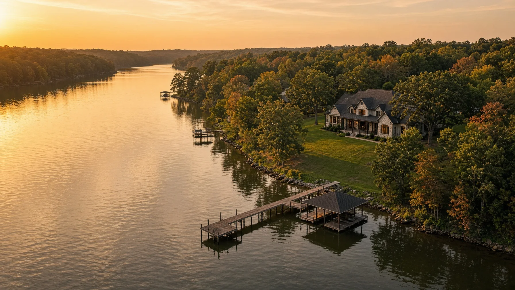
Waterfront Home Drone Photography: The Essential Listing Shot List

Waterfront property is difficult to explain with ground-level photos alone. This shot list helps sellers and Realtors plan aerial images that show the relationship between the home, shoreline, dock, water access, outdoor spaces, and surrounding area while avoiding common legal, safety, and accuracy mistakes. PRIMARY KEYWORD waterfront home drone photography SECONDARY KEYWORDS waterfront real estate drone photos, lake house listing photography, waterfront property aerial photos, drone shot list for Realtors, dock and shoreline photography # Waterfront Home Drone Photography: The Essential Listing Shot List A waterfront home is not just a house near water. Buyers want to understand how the home, yard, shoreline, dock, access route, neighboring properties, and the water itself fit together. Ground-level photography can show finishes and outdoor spaces, but it often cannot explain those relationships clearly. That is where a well-planned drone shoot becomes useful. The goal is not to collect a random set of high-altitude pictures. The goal is to build a visual sequence that answers the questions a serious buyer is likely to ask before scheduling a showing. The National Association of REALTORS reported in 2026 that listing photos remain one of the most useful features for online home shoppers. For a waterfront property, the strongest aerial images are usually the ones that provide context rather than simply looking dramatic. ## Start With the Property-to-Water Relationship The first priority is a clean establishing image that shows the entire home site and the water in one frame. This should make it easy to see whether the home sits directly on the shoreline, across a road from the water, above the water on a bluff, or behind another structure. A useful establishing image should include: - The home and primary yard - The shoreline or water edge - The dock, pier, boathouse, or launch area when present - The main access road or driveway - Enough neighboring context to understand the setting This image should be high enough to explain the property but not so high that the house becomes a tiny object in the frame. A lower oblique angle often works better than a straight-down image because it keeps the home recognizable while showing depth and distance. ## Show the Shoreline Clearly Waterfront buyers often want to understand the character of the shoreline. Aerial photography can help show whether the edge is sandy, rocky, wooded, bulkheaded, sloped, or landscaped. Useful shoreline views include: 1. A diagonal view running along the shoreline 2. A view from over the water looking back toward the house 3. A side angle showing the transition from yard to shoreline 4. A closer contextual image of steps, paths, seawalls, or retaining features These images should document visible conditions without making technical claims. A drone photo is not a boundary survey, flood determination, engineering report, erosion study, or guarantee of water depth. Captions and listing language should remain descriptive. ## Photograph the Dock, Pier, or Boathouse in Context A dock can be one of the most important features of a waterfront listing, but a tight ground-level image may not show how it connects to the house. Plan at least three dock-related images: - A wide image showing the dock in relation to the home - A medium image showing the full dock, slips, lifts, or covered sections - A return view from over the water toward the shoreline and house When boats, personal watercraft, or vehicles are present, decide before the shoot whether they improve the scene or create clutter. The pilot must also avoid unsafe flight over people and moving vehicles unless the operation qualifies under applicable FAA rules. ## Show the Route From the House to the Water One of the most valuable images may be the simplest: a view that shows how someone actually gets from the house to the shoreline. For some properties, the route is a level lawn. For others, it may involve a long stairway, wooded path, retaining wall, road crossing, or steep slope. Buyers need that context. A good route image can show: - Deck or patio exit - Yard slope - Steps or pathways - Gates or fences - Distance to the dock - Any visible road crossing Do not use perspective tricks to make the water appear closer than it is. Wide-angle lenses and aggressive cropping can distort distance. The strongest marketing image is attractive and honest. ## Include Outdoor Living Areas Waterfront homes are often marketed around outdoor use. Drone images can connect patios, pools, fire pits, decks, screened porches, outdoor kitchens, and lawn areas to the water view. A practical sequence includes one image from behind the home looking toward the water and one from over the water looking back at the outdoor spaces. This two-way approach helps buyers understand both the view from the home and the appearance of the property from the shoreline. Keep the scene prepared. Remove trash cans, loose hoses, pool-cleaning equipment, temporary toys, construction debris, and vehicles that block important features. Existing preparation guidance for standard home listings still applies, but waterfront properties also benefit from clearing docks, securing loose cushions, and checking that flags or covers are not tangled by wind. ## Capture the Water Approach An image from farther out over the water can be especially useful when the home has a recognizable shoreline presence. This view can show the house, dock, tree line, neighboring development pattern, and general setting. The pilot must maintain visual line of sight and operate within applicable airspace and altitude limits. Under Part 107, commercial real estate photography is a non-recreational operation. The FAA requires certificated remote pilots to follow Part 107 rules, check airspace, avoid careless operation, and obtain authorization when required in controlled airspace. A dramatic water approach should never require the pilot to fly beyond visual line of sight or ignore changing wind, glare, boat traffic, or low-flying aircraft. ## Add One Straight-Down Context Image A top-down image can help explain the arrangement of the roof, yard, shoreline, dock, driveway, and accessory structures. It is especially useful when the lot has an unusual shape. However, a straight-down photo should not be presented as a survey or used to draw precise boundary lines unless a qualified source provides the boundary data and the overlay is clearly labeled as approximate. Trees, lens distortion, terrain, and camera angle can all make visible edges look more definite than they are. Use the top-down image as context, not proof. ## Show Nearby Amenities Carefully Aerial photos may help show nearby marinas, community docks, beaches, boat ramps, parks, or neighborhood amenities. These images can be useful, but they require care. Before including an amenity: - Confirm that it is relevant to the property - Avoid implying private access unless access is verified - Do not make unverified distance or travel-time claims - Avoid flying over crowds or active traffic - Obtain permission where required for launch or landing A labeled overview may be appropriate when the relationship is accurate, but it should not exaggerate proximity. If an amenity is several miles away, a separate image or map may communicate it more honestly than a compressed aerial angle. ## Plan for Light, Wind, and Water Glare Waterfront photography is highly sensitive to weather and sun angle. Midday sun can create harsh glare on the water, while low sun may produce attractive reflections but reduce detail in the shaded side of the home. A pilot should evaluate: - Wind speed and gusts near open water - Sun direction relative to the house - Reflections and glare - Haze or humidity - Boat traffic - Fast-changing weather Morning or late-afternoon light often provides better shape and depth, but the best time depends on the direction the home faces. A west-facing shoreline may look strongest late in the day, while an east-facing property may benefit from morning light. Night or twilight operations have additional FAA requirements. Part 107 pilots flying at night must meet applicable training and lighting rules, and controlled-airspace authorization may still be required. ## Verify Airspace Before the Appointment Waterfront homes are often near airports, seaplane routes, military areas, parks, dams, or other sensitive locations. A property owner’s permission does not replace FAA airspace requirements. The FAA’s B4UFLY service provides airspace-awareness information, including controlled airspace, airports, special-use areas, temporary flight restrictions, and other notices. A commercial pilot should also determine whether LAANC or another FAA authorization is required. Drones that must be registered generally must also comply with Remote ID requirements. A professional operator should be able to explain certification, registration, airspace authorization, and insurance without turning the listing appointment into a technical lecture. ## The Essential Waterfront Shot List For most waterfront listings, request the following core set: 1. Hero image showing home, shoreline, and water 2. Opposite-angle establishing image 3. Shoreline-length view 4. Water-to-house return view 5. Dock or pier context image 6. House-to-dock access route 7. Outdoor living area connected to the water 8. Top-down property context image 9. Wider neighborhood or waterbody context image 10. One vertical image suitable for social media Larger or more complex properties may need additional images for guest houses, separate garages, multiple docks, long driveways, private beaches, boat ramps, or community amenities. ## What Drone Photos Should Not Claim Aerial marketing images are powerful, but they have limits. They should not claim or imply: - Exact property boundaries - Guaranteed water depth - Flood-zone status - Navigability - Dock permitting status - Structural condition - Shoreline stability - Legal access rights - Inspection findings Those questions require the appropriate records, licensed professionals, government sources, or legal documents. A good listing package uses drone imagery to explain what is visibly present while directing buyers to authoritative sources for technical matters. ## Build a Sequence, Not a Collection The best waterfront listing gallery moves logically. Begin with a strong hero image, then show the property-to-water relationship, access route, dock, outdoor spaces, shoreline, and wider setting. Follow that with ground-level exterior and interior photography. When every aerial image answers a different question, the gallery feels useful instead of repetitive. That is the real value of waterfront drone photography: it helps buyers understand the property before they arrive. ## Frequently Asked Questions ### How many drone photos does a waterfront listing need? Most listings can be explained with roughly eight to twelve distinct aerial images. Complex properties may need more, but repetitive angles add little value. ### Can a drone photo show the exact property line? No. Aerial images can provide visual context, but exact boundaries require survey or authoritative parcel information. Any overlay should be labeled appropriately and should not be presented as a legal survey. ### Is drone photography legal for a home listing? Yes, when the operation follows applicable FAA rules. Real estate photography for a listing is generally a non-recreational operation conducted under Part 107. ### Can the pilot fly over the lake or river? Often yes, provided the flight remains within visual line of sight, complies with airspace rules, and is conducted safely. Local launch, landing, property-access, or site restrictions may also apply. ### Should the listing include nearby marinas or boat ramps? Only when the relationship is relevant and accurately represented. Verify access rights and avoid implying that a public or private amenity belongs to the property. ## Source Notes 1. Federal Aviation Administration, Certificated Remote Pilots including Commercial Operators: https://www.faa.gov/uas/commercial_operators 2. Federal Aviation Administration, Small Unmanned Aircraft Systems Regulations Part 107: https://www.faa.gov/newsroom/small-unmanned-aircraft-systems-uas-regulations-part-107 3. Federal Aviation Administration, B4UFLY: https://www.faa.gov/uas/getting_started/b4ufly 4. Federal Aviation Administration, Remote Identification of Drones: https://www.faa.gov/uas/getting_started/remote_id 5. National Association of REALTORS, How to Maximize Online Visibility for Every Listing: https://www.nar.realtor/news/real-estate-news/sales-marketing/how-to-maximize-online-visibility-for-every-listing ## Internal-Link Suggestions - Link “prepare the scene” to the existing article: How to Prepare Your Home for Drone Listing Photos. - Link the boundary disclaimer to: Can Drone Photos Show Property Lines? A Practical Guide for Home Sellers. - Link the pilot-selection section to: How to Hire a Drone Photographer for a Home Listing. - No cross-site link recommended; the article is fully residential and should remain within SweetHomeDrone.com. ## Featured Image Concept Concept: A polished oblique aerial view of a waterfront home showing the house, lawn, dock, shoreline, and open water in one clear frame.
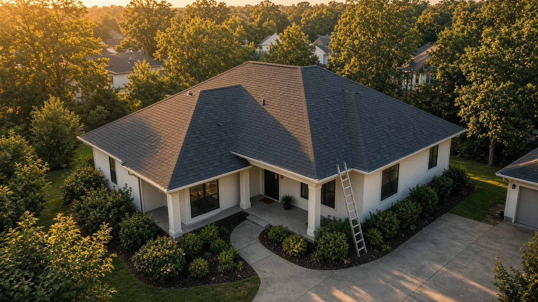
Read the article →
08
August 9, 2026

Drone Roof Photos Before and After Replacement: A Homeowner Shot List

Use this practical drone photo checklist to document a residential roof before, during, and after replacement without confusing photos with a professional roof inspection.
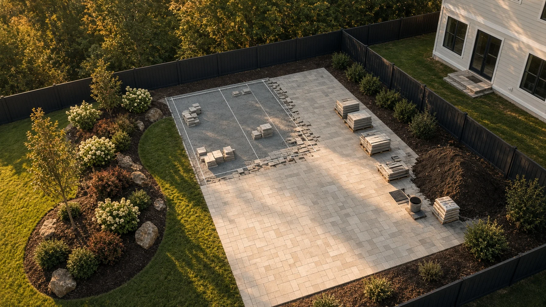
Read the article →
09
August 9, 2026

Drone Photos for a Backyard Renovation: Before, During, and After Shot List

A backyard renovation can change grading, drainage paths, hardscape, landscaping, fencing, pools, decks, and access routes. A consistent drone-photo plan gives homeowners and contractors a useful visual record without relying on random snapshots. PRIMARY KEYWORD drone photos for backyard renovation SECONDARY KEYWORDS backyard renovation progress photos; aerial construction documentation; residential landscaping drone photos; before and after backyard photos; home improvement drone photography # Drone Photos for a Backyard Renovation: Before, During, and After Shot List Backyard projects are difficult to understand from ground level alone. A new patio may look simple from the kitchen door, while the aerial view shows how it connects to the house, driveway, fence, drainage path, pool, trees, and neighboring property. That wider context is what makes drone photography useful during a residential outdoor renovation. The goal is not to collect hundreds of dramatic images. The goal is to create a consistent visual record. When the same angles are repeated before work begins, during major milestones, and after completion, homeowners and contractors can compare progress without guessing which photo came from which direction. ## What Drone Photos Can Document Aerial photos are especially useful when a project changes several parts of a yard at once. Common examples include: - patios, walkways, retaining walls, and outdoor kitchens; - pools, spas, decks, pergolas, and pavilions; - grading, drainage improvements, swales, and erosion-control work; - fence replacement or property-access changes; - tree removal, planting beds, sod, irrigation, and landscape redesign; - additions that affect the relationship between the house and yard. Drone photos should be treated as visual documentation, not as a substitute for a boundary survey, engineering inspection, drainage study, or code review. An aerial image can show visible conditions and relationships. It does not prove a legal property line or confirm that hidden work meets technical requirements. ## Start With a Repeatable Flight Plan The most useful renovation record comes from repeating the same views. Before the first flight, choose a small set of positions that can be used throughout the project. A practical plan usually includes: 1. one straight-down overview; 2. four diagonal views from the corners of the property; 3. one view from the rear property line toward the house; 4. one view from the house toward the work area; 5. two or three closer views of the main construction zone. Keep the camera direction, approximate altitude, lens setting, and time of day as consistent as conditions allow. Exact duplication is not always possible because cranes, trees, temporary fencing, workers, or weather may change the safe flight path. Consistency matters more than perfection. ## Before Construction: Build the Baseline The first photo set is the reference point for everything that follows. It should show the entire area before equipment, materials, or demolition change the site. ### Capture the whole yard Take a high overview that includes the house, work area, property access, major trees, fence lines, neighboring structures, and visible drainage features. This becomes the fastest way to understand the original layout later. ### Record access routes Photograph gates, driveway edges, side-yard access, utility areas, and any path equipment may use. These images can help document pre-project surface conditions such as lawn, pavers, gravel, curbs, or narrow passages. ### Photograph visible drainage patterns Include downspouts, low areas, swales, slopes, retaining walls, and places where water visibly collects. Do not claim that a single flight establishes how the site drains in every weather condition. It simply records what is visible at that time. ### Document nearby features Capture fences, sheds, playsets, HVAC equipment, mature landscaping, exterior walls, and roof edges close to the work zone. This gives the project team context when reviewing later changes. ## During Construction: Photograph Meaningful Milestones Daily flights are rarely necessary for a typical backyard project. Milestone flights are usually more useful because they show major changes rather than minor day-to-day activity. ### After demolition and clearing This set should show what was removed and how the work area was opened. Include debris staging and access paths only when they are useful to the project record. ### After grading or excavation Photograph the shape and extent of excavation, visible slope changes, trench locations, pool or footing excavation, and access conditions. These images are valuable for orientation, but they should not be presented as measurements unless the project separately uses survey-grade equipment and qualified personnel. ### Before important work is covered When practical and safe, photograph visible drainage components, conduit routes, base preparation, reinforcement, or other work before concrete, soil, decking, or landscaping covers it. Coordinate timing with the contractor so the flight does not interrupt active work. ### After hardscape installation Repeat the overview and corner views once patios, paths, walls, decks, or pool surrounds are in place. This stage often reveals how circulation and usable space have changed. ### After major landscaping Document new beds, trees, sod, irrigation zones visible from above, and transitions between hardscape and planted areas. Fresh landscaping may look sparse at first, so label the date rather than implying the installation represents mature growth. ## After Completion: Create the Final Record The final photo set should closely match the baseline views. This makes before-and-after comparisons clear and credible. Include: - the straight-down overview; - the four diagonal property views; - the rear-to-house and house-to-yard views; - close views of major finished features; - one wider image that shows how the project fits the home and surrounding lot. Remove temporary clutter when possible, but do not misrepresent permanent conditions. A useful final record should show the actual finished project, including visible utility covers, drainage features, fences, and access areas. ## A Simple File-Naming System Good file organization is almost as important as the photography. Use names that sort naturally by date and stage. Example: 2026-08-04_before_northwest-overview.jpg 2026-08-18_grading_northwest-overview.jpg 2026-09-06_hardscape_northwest-overview.jpg 2026-10-02_final_northwest-overview.jpg Use the same angle name every time. Store a short flight note with the approximate altitude, weather, and anything that prevented a normal shot. This makes the archive understandable months or years later. ## Safety, Privacy, and Flight Rules A paid or business-related residential photo assignment generally falls under the FAA’s Part 107 framework rather than the limited exception for purely recreational flying. The remote pilot should confirm airspace, authorization requirements, aircraft registration, Remote ID compliance, weather, people on the ground, and visual-line-of-sight conditions before flight. The FAA states that Part 107 pilots must avoid manned aircraft, operate carefully, and keep the drone within visual sight. Controlled airspace may require authorization. Operations over people or moving vehicles are subject to specific requirements, so a renovation site should be planned to avoid unnecessary overflight of workers, neighbors, streets, and occupied areas. Property permission and airspace authorization are different issues. Permission from the homeowner does not replace FAA requirements, and FAA authorization does not automatically grant permission to launch from any property. A professional operator should address both. Privacy also matters. Frame the project property rather than collecting unnecessary detail from neighboring yards, windows, or private activity. When a useful angle would intrude on a neighbor, choose a different position or crop. ## How Many Flights Does a Project Need? A small patio or landscaping update may need only three sessions: before, one major milestone, and final. A pool, retaining-wall, drainage, or full outdoor-living project may benefit from five to eight milestone sessions. The right number depends on what will become hidden, how long the job lasts, and how the photos will be used. More flights do not automatically create a better record. A short, consistent set at the right stages is more valuable than a large collection of unrelated views. ## Final Checklist Before each scheduled flight, confirm: - the milestone is actually ready to document; - the work area can be photographed without disrupting crews; - the planned angles can be flown safely and legally; - temporary conditions are noted; - the same core views from the previous session will be repeated; - files will be labeled and delivered by date, stage, and angle. A backyard renovation can take weeks or months, but the final transformation may be difficult to appreciate from memory. A disciplined drone-photo plan creates a clear visual story: what existed, what changed, and how the finished space fits the home. ## Frequently Asked Questions ### Can drone photos verify my property lines? No. Aerial photos may show fences, landscaping, and visible occupation lines, but they do not replace a licensed boundary survey or legal property records. ### How often should progress photos be taken? Schedule flights around major milestones rather than arbitrary intervals. Before work, after demolition, after grading, before important work is covered, after hardscape, and after final landscaping are common points. ### Can the drone fly while contractors are working below? The pilot must evaluate people, vehicles, equipment, airspace, and site conditions. It is often simpler and safer to schedule brief flights when the immediate area is clear. ### Are backyard-renovation drone photos only useful for contractors? No. Homeowners can use them for personal records, before-and-after comparisons, project communication, maintenance references, and future resale materials, subject to accuracy and disclosure needs. ### What is the most important photo to repeat? The straight-down overview is useful, but the best record combines it with the same four diagonal views. Diagonal images show depth, height, and the relationship between the house and yard more clearly. ##
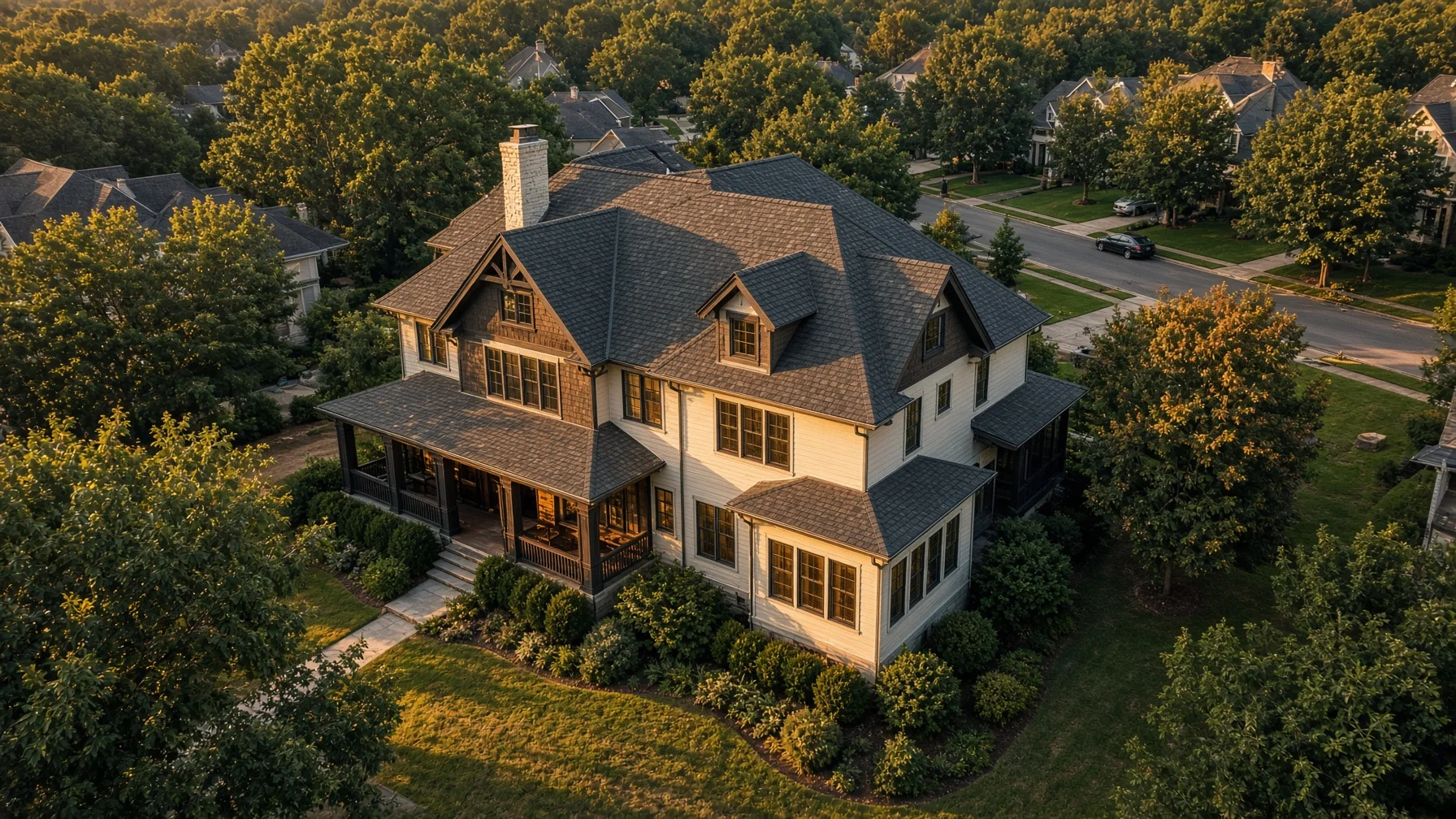
Read the article →
10
August 9, 2026

How High Should Drone Real Estate Photos Be? A Practical Shot-Height Guide

Learn which drone photo heights work best for residential listings, from low-angle home portraits to full-property context shots, without flying higher than necessary.

Read the article →
11
August 9, 2026

Drone Photography and Neighbor Privacy: A Home Seller’s Practical Guide

Drone photography can show a home’s setting, lot, roofline, and nearby features in ways ground photos cannot. It can also create avoidable tension when the flight feels intrusive. This guide explains how sellers and Realtors can get the images they need while minimizing privacy concerns and keeping the operation focused on the property being marketed. PRIMARY KEYWORD drone photography privacy for home sellers SECONDARY KEYWORDS real estate drone privacy, neighbor privacy drone photos, home listing aerial photography, responsible drone photography, seller drone photo checklist # Drone Photography and Neighbor Privacy: A Home Seller’s Practical Guide Aerial photos can make a home listing easier to understand. They can show the shape of the lot, the relationship between the house and driveway, the location of a detached garage, the scale of a backyard, or how close the property is to a lake, greenway, or neighborhood entrance. The same camera angle can also capture more than a seller intended. A neighboring patio, fenced yard, swimming pool, open window, license plate, or person may appear in the frame. That does not automatically mean the flight was unlawful, but it can create a legitimate concern and an unnecessary dispute. The best approach is simple: plan the flight around the home being marketed, collect only the imagery needed for the listing, and avoid treating nearby private spaces as background scenery. ## The FAA Regulates Flight Safety, Not General Privacy The Federal Aviation Administration regulates the national airspace and the safety of drone operations. It does not serve as the general privacy regulator for residential photography. The FAA specifically notes that local privacy laws may apply when a drone is flown over or near a home. That distinction matters. A pilot can comply with federal flight rules and still create a problem through careless camera use, intrusive positioning, or poor judgment. Sellers and Realtors should therefore evaluate two separate questions: 1. Can the flight be conducted safely and legally under applicable FAA rules? 2. Can the desired images be captured without unnecessarily recording neighboring people or private areas? A professional operator should be prepared to address both. ## Commercial Listing Photography Falls Under Part 107 A drone flight performed to market a home is a business use, even when the seller is not directly paying the pilot. In most cases, the operator should be flying under the FAA’s Part 107 rules and should hold a Remote Pilot Certificate. Part 107 flights must follow operating requirements that include avoiding manned aircraft, keeping the drone within visual line of sight, complying with airspace restrictions, and avoiding careless or reckless operations. Controlled airspace may require prior authorization. Sellers do not need to become aviation experts, but they should ask the operator whether the flight will be conducted under Part 107 and whether the location requires airspace authorization. ## Remote ID Does Not Give a Photographer Permission to Invade Privacy Most registered drones must comply with Remote ID. Remote ID broadcasts identification and location information that can be received by nearby parties using compatible equipment. Remote ID is an aviation accountability system. It does not create a right to photograph private activity, and it does not replace professional judgment. A compliant drone can still be flown in a way that makes neighbors uncomfortable. Good planning should reduce the chance that anyone feels watched or targeted. ## Start With a Tight Shot List Privacy problems often begin when the flight has no clear purpose. The pilot launches, circles the block, records long video clips, and decides later what might be useful. That approach collects far more imagery than the listing needs. A better shot list usually includes a limited group of views: - Front elevated view showing the home and lot approach - Rear elevated view showing the backyard layout - Oblique corner views showing the structure’s shape - Straight-down or near-vertical view when lot context is important - One or two wider neighborhood-context images when a nearby feature genuinely adds value The pilot should know which direction to point the camera, how wide the frame needs to be, and what neighboring features should be excluded whenever practical. ## Avoid Hovering Near Neighboring Windows and Yards A drone does not need to hover beside a neighboring window to photograph a home listing. It also should not remain over a neighbor’s yard simply because that position creates a dramatic angle. In many cases, the same marketing value can be achieved by: - Flying from the seller’s property or another authorized launch point - Using a higher, wider angle rather than a close side angle - Positioning the camera toward the subject property - Shortening the flight and limiting repeated passes - Cropping the final image to reduce unnecessary neighboring detail A pilot may need to reposition briefly for safe operation or composition, but the flight plan should remain centered on the listed property. ## People and Moving Vehicles Require Extra Planning Part 107 rules place restrictions on operations over people and moving vehicles. Some drones and operations may qualify under specific categories, but sellers should not assume that every commercial drone can routinely hover over neighbors, pedestrians, contractors, or traffic. Scheduling can solve many problems. A photographer may choose a time when the driveway is clear, children are not playing nearby, landscaping crews have left, and street traffic is lighter. The goal is not only regulatory compliance. It is also to create a calm, controlled photo session. ## Consider Giving Nearby Neighbors a Courtesy Notice A courtesy notice is not always legally required, and the exact legal rules vary by location. Still, a simple heads-up can prevent confusion when homes are close together. The notice can be brief: “A licensed drone photographer will be taking listing photos of our property tomorrow between 10:00 and 10:30 a.m. The camera will be focused on our home and lot.” This does not give the neighbor control over the seller’s listing, but it explains the purpose and timeframe. It also gives the photographer a chance to avoid a known concern, such as a neighbor working in the backyard during the planned flight. ## Review the Images Before They Are Published The raw photos may include details that should not appear in a public listing. Before publishing, the seller, Realtor, or editor should check for: - Clearly identifiable people who are not part of the listing - Neighboring children or private gatherings - Open windows with visible interior activity - Legible license plates - Security-system details that add no marketing value - Mail, packages, or documents visible from above - Neighboring pools, patios, or yards shown more prominently than necessary Cropping, selecting a different frame, or applying a limited blur can often solve the problem without weakening the listing. ## Do Not Use Property-Line Graphics as Legal Proof Aerial images are useful for orientation, but they are not a substitute for a survey. If a listing includes a property-line overlay, it should be clearly labeled as approximate unless it was prepared from reliable survey data and reviewed appropriately. This is also a privacy issue. An inaccurate line can make it appear that a neighboring driveway, fence, shed, or yard belongs to the listed property. That can trigger disputes that have nothing to do with the drone flight itself. Use aerial imagery to explain the property, not to make unsupported legal claims. ## Choose a Photographer Who Can Explain the Plan A prepared residential drone photographer should be able to answer practical questions before launch: - Are you flying under Part 107? - Does this address require airspace authorization? - What views are you planning to capture? - Will the drone need to pass over people, traffic, or neighboring property? - How will you limit unnecessary neighboring detail? - Do you carry liability insurance? - Will the final images be reviewed for privacy-sensitive content? The quality of the answers matters more than the amount of equipment in the photographer’s case. ## A Simple Privacy-Focused Checklist for Sellers Before the flight: - Confirm the photographer is prepared for a commercial Part 107 operation. - Discuss the exact images needed. - Identify neighboring areas that should be kept out of frame. - Remove sensitive items from the yard, porch, driveway, and visible windows. - Schedule around people, pets, workers, and traffic when possible. - Consider a courtesy notice for close neighbors. After the flight: - Review every selected image at full size. - Remove frames that focus too heavily on another property. - Crop or blur unnecessary identifying details. - Confirm overlays and captions do not imply unsupported property boundaries. - Keep only the images that add real value to the listing. ## The Goal Is Useful Context, Not Maximum Surveillance Residential drone photography works best when it answers a buyer’s questions quickly. How large is the backyard? Where is the detached garage? How does the driveway connect to the street? What is the relationship between the home and nearby amenities? It does not need to document every neighboring yard or record long stretches of activity around the block. A limited, intentional flight usually produces stronger marketing images and fewer privacy concerns. For sellers and Realtors, the standard should be straightforward: capture the property clearly, minimize unrelated private detail, and use only the images that help a buyer understand the home. ## Frequently Asked Questions ### Is it automatically illegal for a drone to photograph part of a neighbor’s property? Not necessarily. The FAA regulates flight safety, while privacy and related restrictions may come from state or local law. Incidental background capture is different from deliberately targeting a private area, but the safest approach is to minimize unnecessary detail and check applicable local rules. ### Does a seller need every neighbor’s permission before ordering drone photos? Not always. Permission requirements vary with the location, launch site, flight path, and local law. A courtesy notice may still be useful when homes are close together or the flight could surprise nearby residents. ### Can a homeowner shoot down a drone over the property? No. The FAA states that shooting at an aircraft, including a drone, is illegal and creates a serious safety hazard. Immediate unsafe activity should be reported to local law enforcement rather than handled by attempting to disable the aircraft. ### Should license plates or people be blurred in real estate drone photos? When those details are not needed to market the property, cropping, selecting another frame, or blurring can reduce privacy concerns. The best choice depends on the image and applicable local rules. ### Does Remote ID let the public identify every drone pilot by name? Remote ID broadcasts required identification and location information, but it is primarily an aviation safety and accountability system. It does not replace privacy law or give a pilot permission to collect intrusive imagery. ##
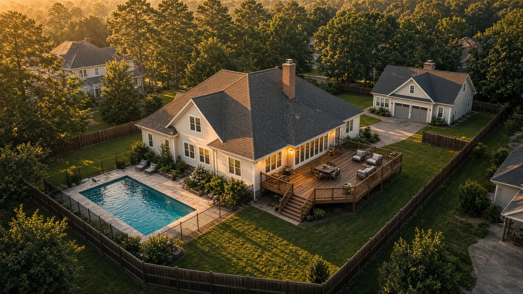
Read the article →
12
August 8, 2026

Drone Photos for a Home Insurance Inventory: What to Capture Before a Loss

A home inventory should not stop at the rooms inside your house. A carefully planned set of exterior drone photos can create a dated visual record of your roof, outbuildings, fencing, solar panels, pool, landscaping, and other improvements that are difficult to document from the ground.
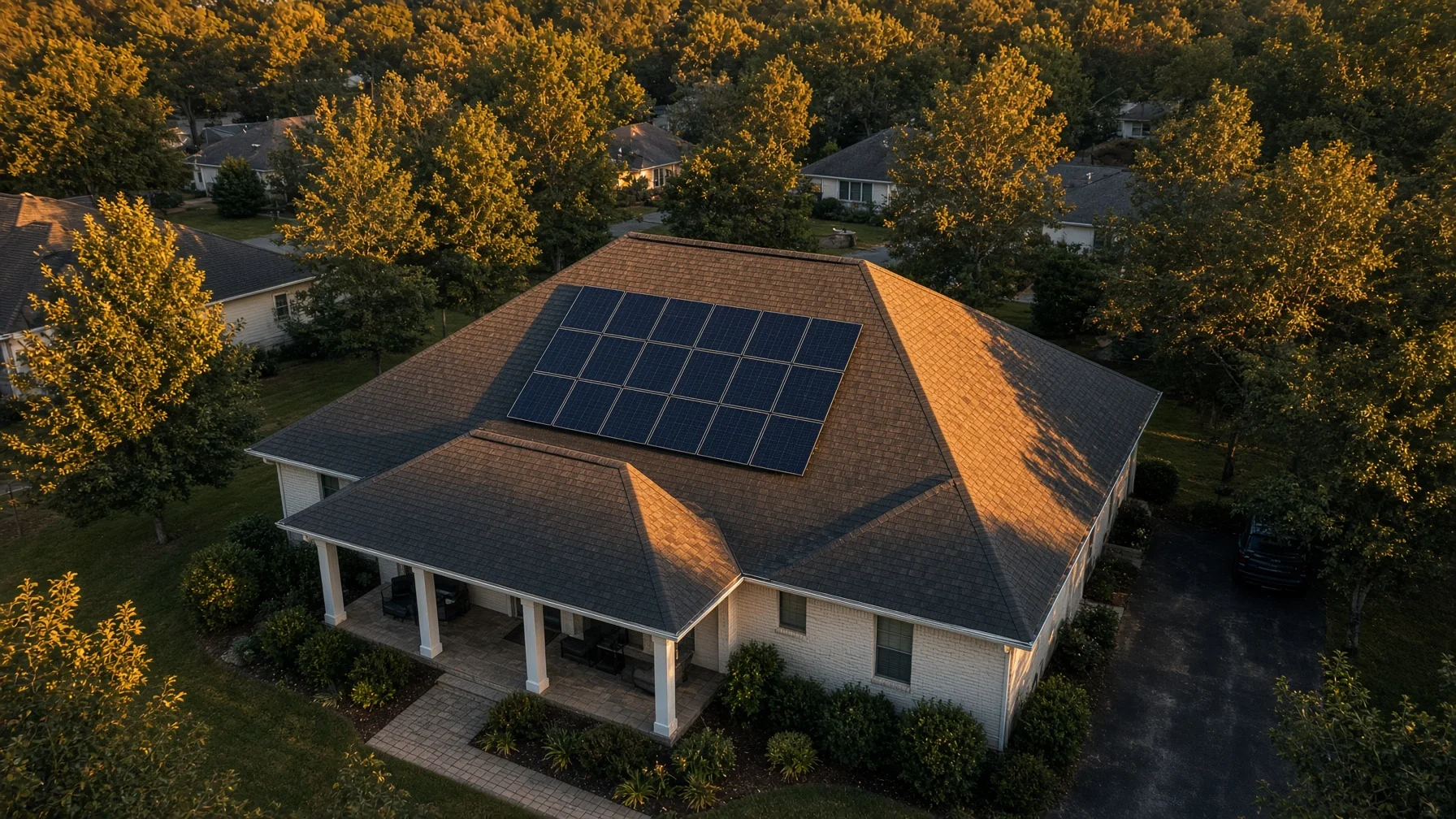
Read the article →
13
August 8, 2026

Drone Photos for a Residential Solar Installation: What to Capture Before, During, and After

Drone photos can create a useful visual record of a residential solar project from the condition of the roof before work begins through the finished panel layout. The key is knowing what to capture, when to capture it, and what aerial images cannot prove on their own.
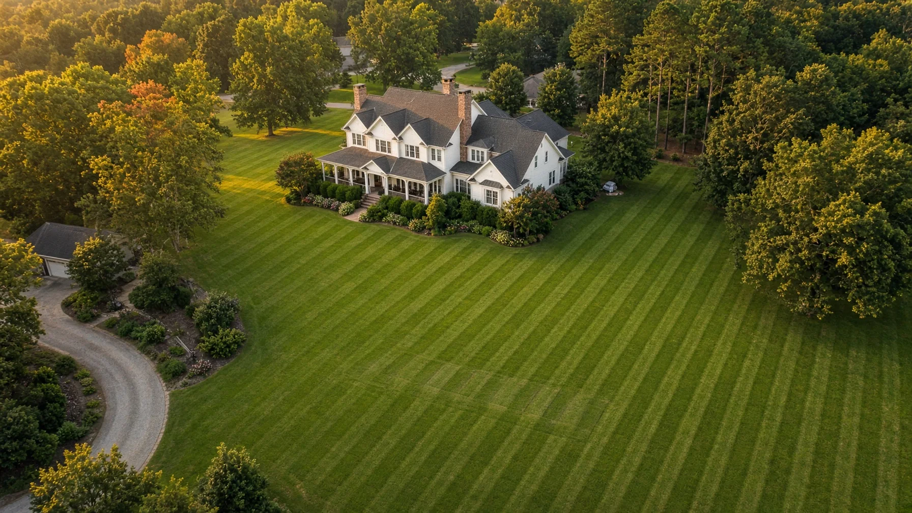
Read the article →
14
August 8, 2026

Drone Photos for Septic System Documentation: What Homeowners Should Capture

Aerial photos can give homeowners a useful visual record of the house, yard, visible septic features, access routes, wells, slopes, landscaping, and future project areas. They cannot locate buried components or replace a septic inspection, permit drawing, survey, or professional diagnosis.
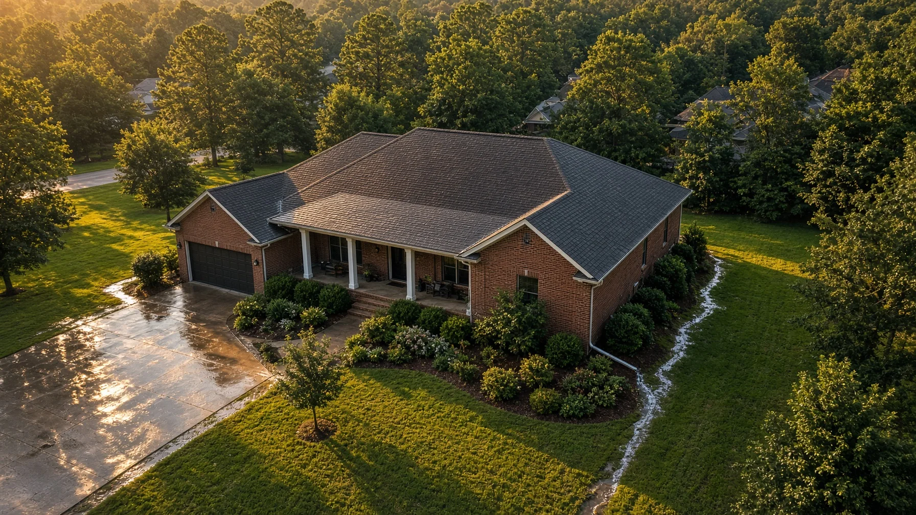
Read the article →
15
August 8, 2026

Drone Photos for Residential Drainage and Runoff Documentation: What Homeowners Should Capture

Water problems around a house are often easier to explain when everyone can see the whole property at once. Drone photos can create a useful visual record of roofs, downspouts, driveways, low areas, drainage paths, and erosion before a contractor arrives—without pretending to replace an on-site drainage or engineering evaluation.

Read the article →